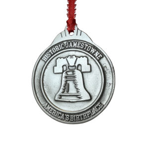
Description
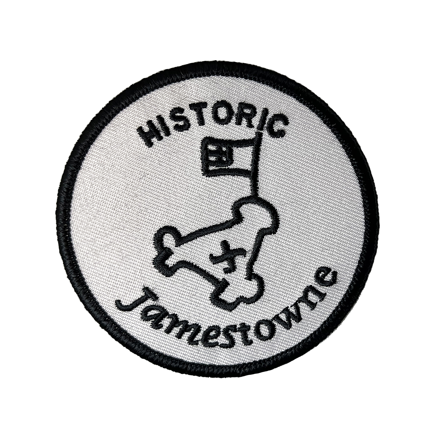
Embroidered 3″ patch with iron-on backing. Text reads Historic Jamestowne and includes an image James Fort as depicted on the Zúñiga map. Black embroidery on gray background.
In 1608 Captain John Smith prepared two hand-drawn maps of James Fort and eastern Virginia to send back to England. While both maps are now lost, one drawing known as the Zúñiga map still survives.
Pedro de Zúñiga was the Spanish ambassador stationed in London. He obtained a copy of Smith’s map and smuggled it to King Philip III to inform him of English progress in colonizing North America.
This image of James Fort depicted on the Zúñiga map is used as the logo for the Jamestown Rediscovery project.
Click here to learn more about the Zúñiga map of James Fort.


