Menu
≡
╳
- Home
-
Visit
-
Archaeology
- Dig Updates Explore Jamestown Rediscovery’s exciting finds in monthly archaeological updates. Archives cover years of archaeology at James Fort.
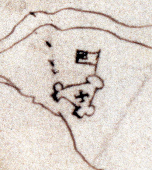
- Map of Discoveries Click each James Fort feature to learn more about what archaeologists have learned in 20 years of work.
- Excavations & Research
- History of Jamestown Rediscovery
- Collections
- History
-
Education
- Educators & Students Bring Jamestown to the classroom through our lesson plans and virtual school programs.
- Kids & Families Download kid-friendly activities and learn more about family fun on the island.
- Jamestown from Home Explore online resources to learn more about the archaeology and history of Jamestown.
-
Support
- The Jamestown Fund Making a gift directly supports the Jamestown Rediscovery Foundation’s ongoing efforts to research, preserve, and educate about the significance of the original site of America’s birthplace.
- Save Jamestown Support our efforts to mitigate the effects of climate change on Jamestown and its archaeological resources.
- Jamestown Legacy Society Learn more about making a lasting impact by including the Jamestown Rediscovery Foundation in your estate plans.
-