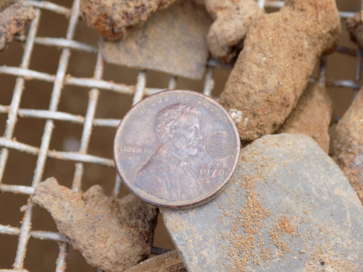
Although the recent tests in and around the church have been small, they have provided the team with invaluable explanations regarding previous excavations in the early 20th century by the Association for the Preservation of Virginia Antiquities (APVA Preservation Virginia) founders and the civil engineers who assisted them.
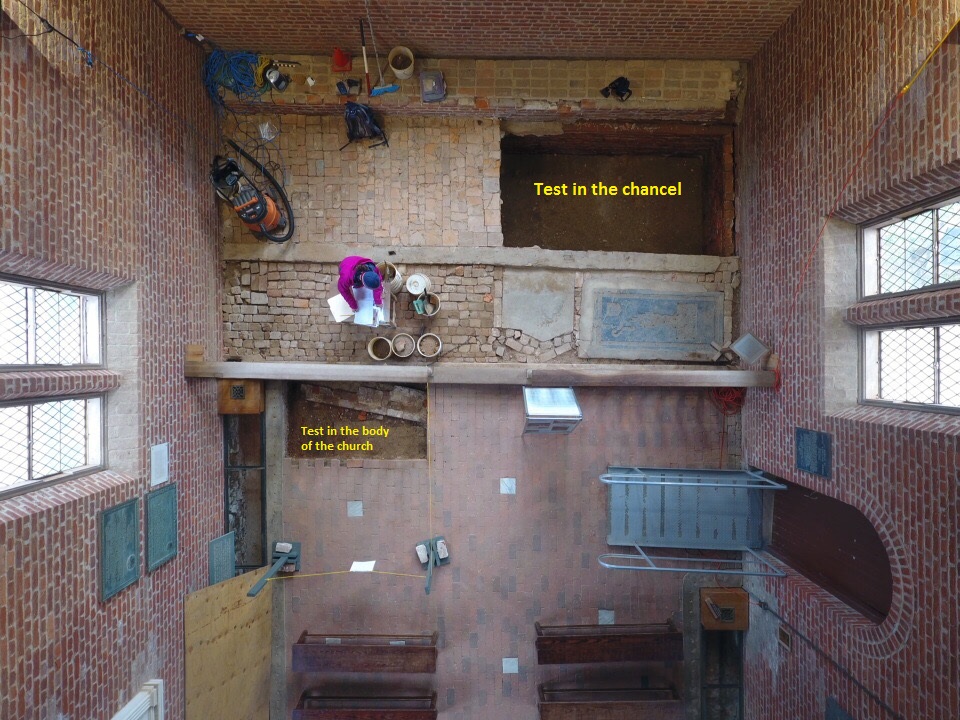
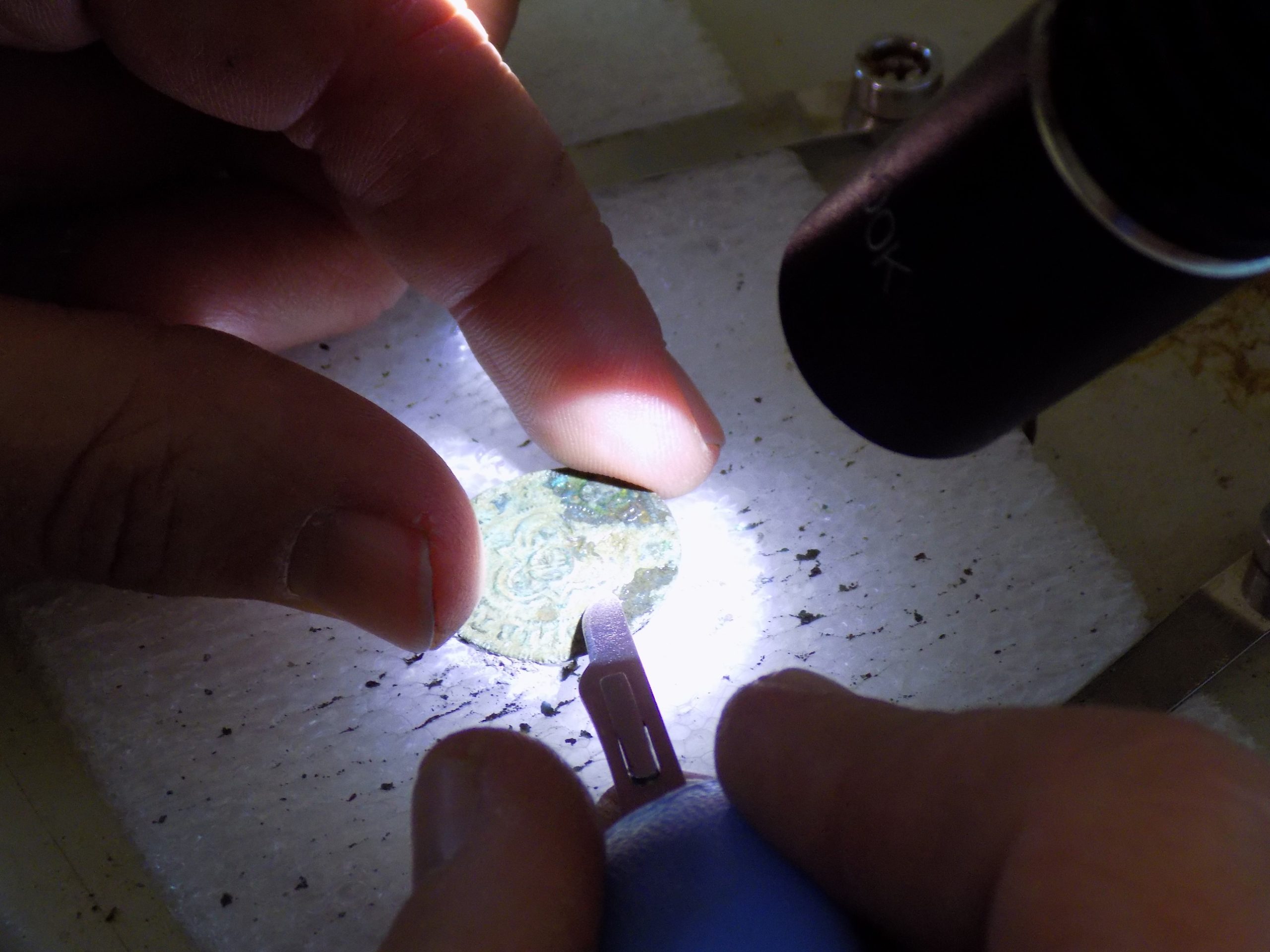
The test in the south half of the church chancel last month led to the discovery of plaster along the 1640s brick foundations, revealing the floor level for that church. It also revealed the 4” brick offsets on the east and south foundations, which have provided archaeologists with the point of reference used by previous excavators to pinpoint locations and depths of individual burials. The chancel test unit has also revealed portions of the subsoil edges for three burial shafts that were excavated in 1901-1902.
In some cases the APVA reports detail exactly where they dug and what they encountered. However, they are vague about their recovery methods and the final destination of the skeletal remains they encountered. No records explain if what they found was removed or left in situ. The notes do not indicate if they left the burial shafts intact or dug all the soil around the burials. The discovery of the subsoil edges for some of the grave shafts in the part test helped elucidate this matter.
“I was ecstatic when I noticed that subsoil protruding west, from beneath the east wall of the 1640s brick church, defined the eastern limits for a couple of the excavated burials,” remarked archaeologist Mary Anna Hartley. “This suggests that, at least at the south end of the chancel, previous excavators did not remove all the subsoil between the burials, enabling us to map the shapes of some of these graves.”
However, the test revealed no evidence of the 1617 church’s south wall in the chancel area. The chancel had been heavily disturbed by previous excavations, but it contained pieces of yellow clay, mortar, and a couple of small cobblestones which might have related to that early foundation. They were all mixed into the archaeological backfill in 1902. It is likely the 1617 foundations in the chancel area were disturbed and dismantled when the deceased were buried there during the use of the 1640s brick church.
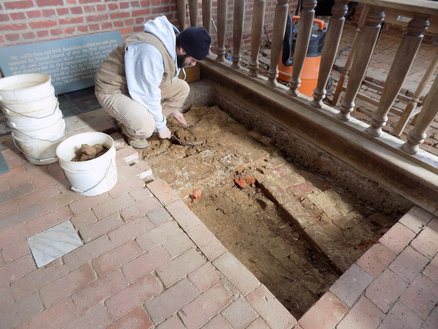
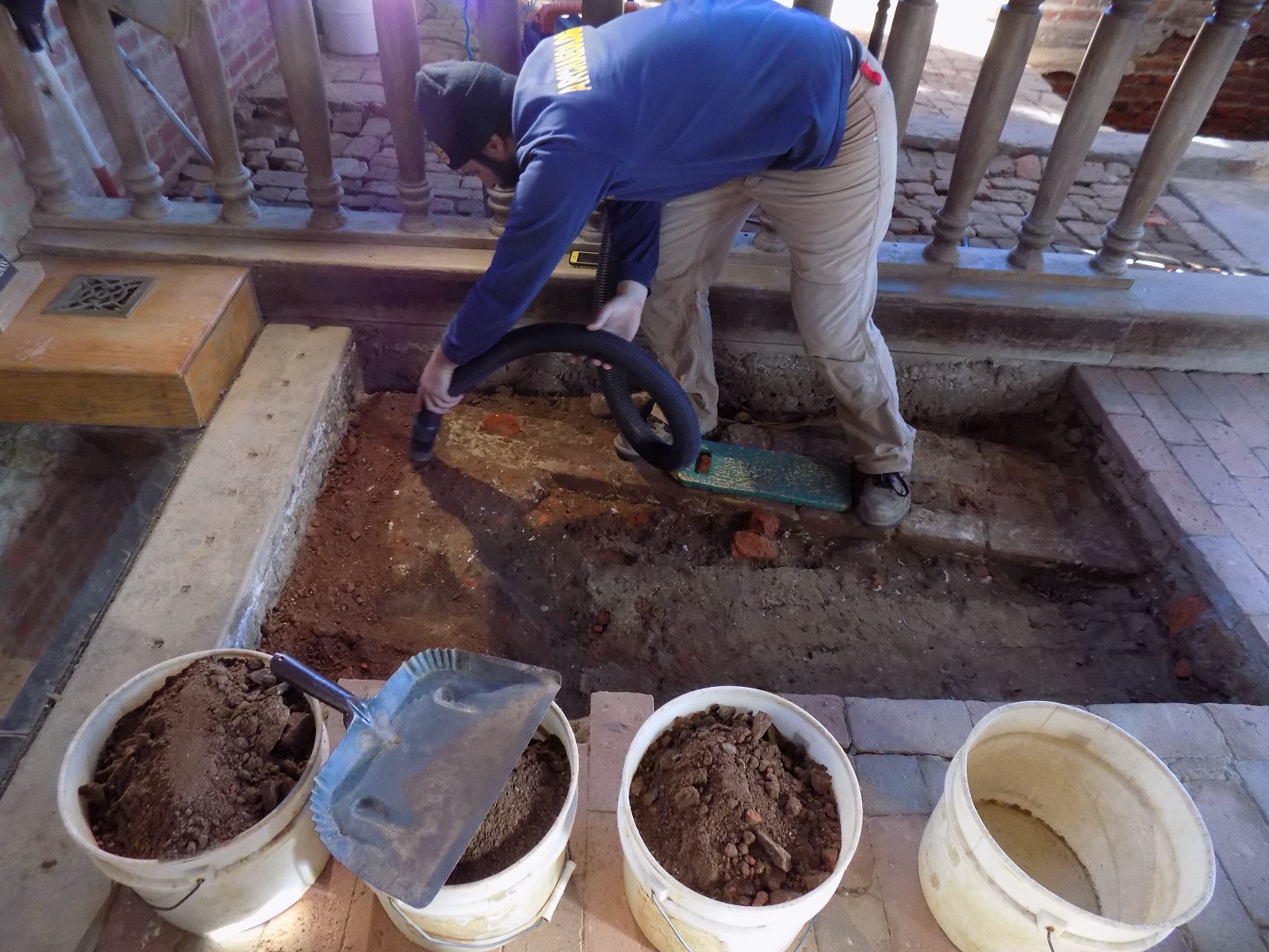
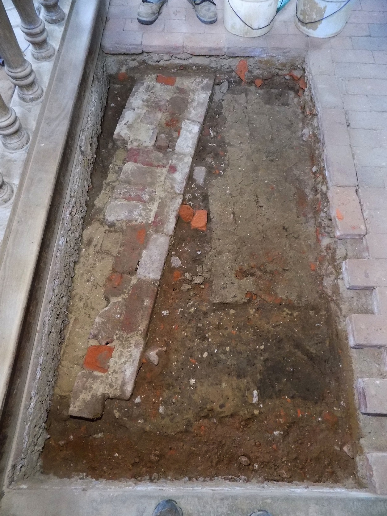
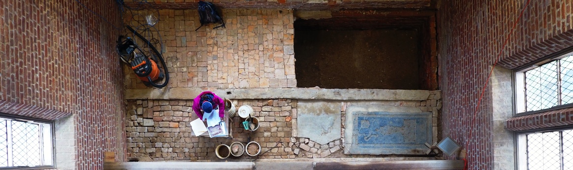
Meanwhile, in the body of the church, the team expanded the 3′ by 2 ½’ test up to the northern concrete curb built during the construction of the 1906 Memorial Church. Like the test dug in December, the only fill beneath the Memorial Church brick floor was archaeological backfill placed there to provide level ground on which to place the modern brickwork. Once removed, the new test unit showed that the intact mortar bed discovered last month continued north for only a couple of additional inches and then abruptly stopped in the straight line.
Archaeologist Bob Chartrand said, “Initially, we thought maybe the mortar bed stopped here because it ended at something built on this side of the church, like the pulpit. However, it is more likely that the APVA excavators cut through the mortar when they dug their excavation trench around the 1617 church to the north.”
Archaeologists also discovered what appears to be the edge of one of the burials opened during the 1901 excavations in the church. One of the early photos shows an open burial in this location. While most of the uncovered unit is concealed by the modern concrete curb and the 1800s churchyard wall cutting through it, an area of clay, loam, and brick rubble fill was revealed which might be that grave.
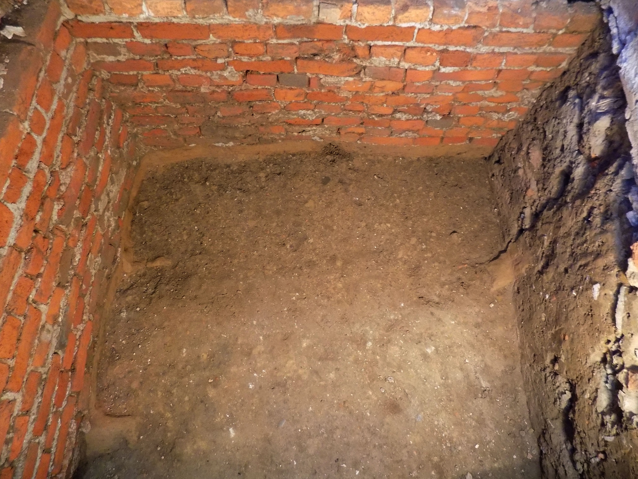
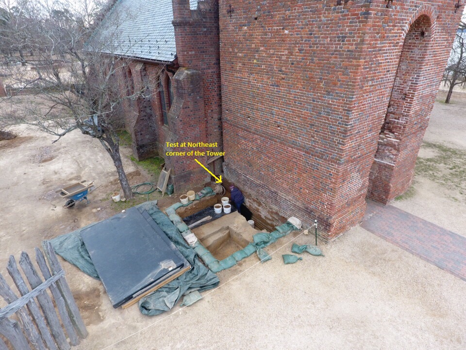
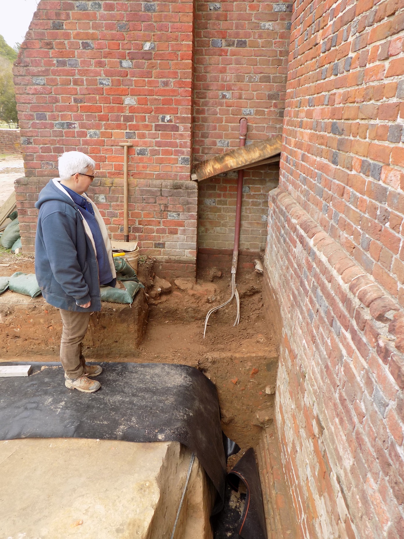
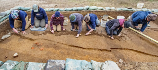
Finally, efforts have shifted outside to the northeast corner of the Jamestown church tower. The 1903 drawings by Army engineer Samuel Yonge indicated that 1901-1902 excavations had determined that all four walls of the tower had a spread footing. Excavations in 2012 and 2016, on the south and north side of the tower proved this was accurate.
In January, the crew opened a test at that corner of the tower. Despite cumbersome electrical lines and a tight work space created by the large concrete pillar around the church’s northwest buttress, the team was able to identify Samuel Yonge’s excavation trench and the original builder’s trench for the tower. Surprisingly, they also discovered that the east wall of the tower does not have a spread footing as Yonge sketched in 1903! The test will be completed in February, so stay tuned for more discoveries.
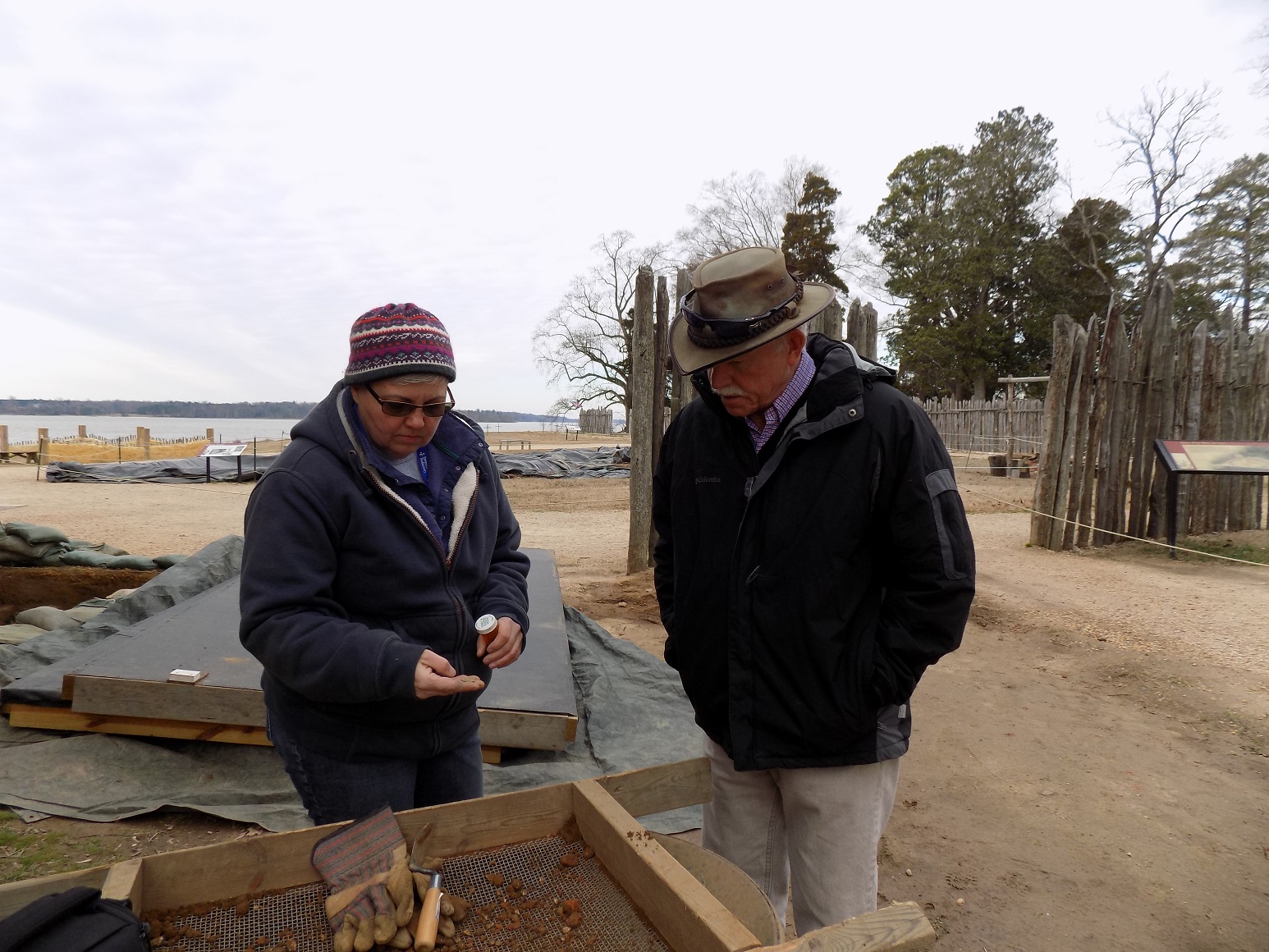
This month’s video update with senior staff archaeologist Dave Givens explains how we are mapping the church excavations in 3-D using digital photography.