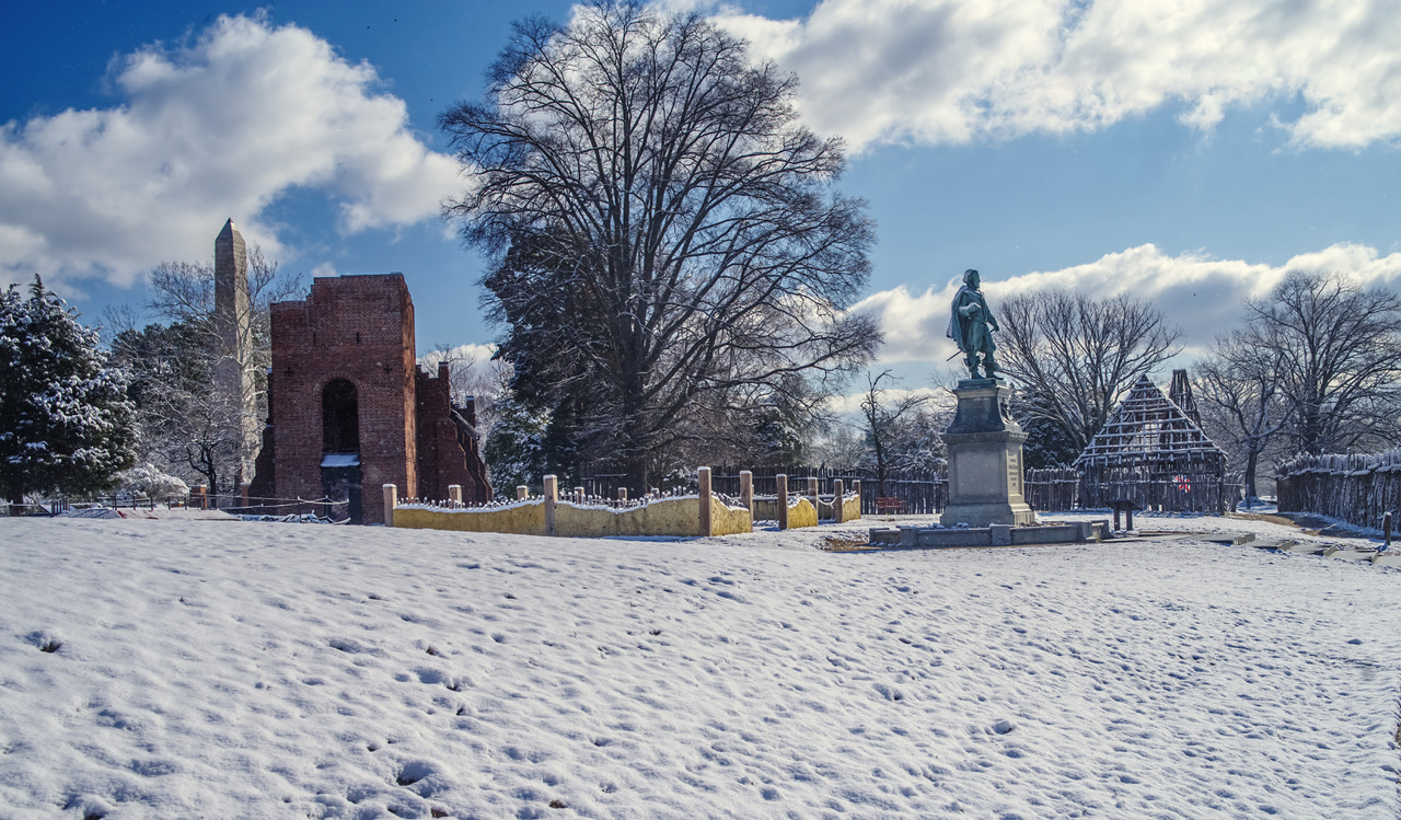
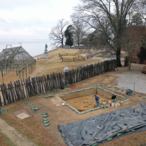
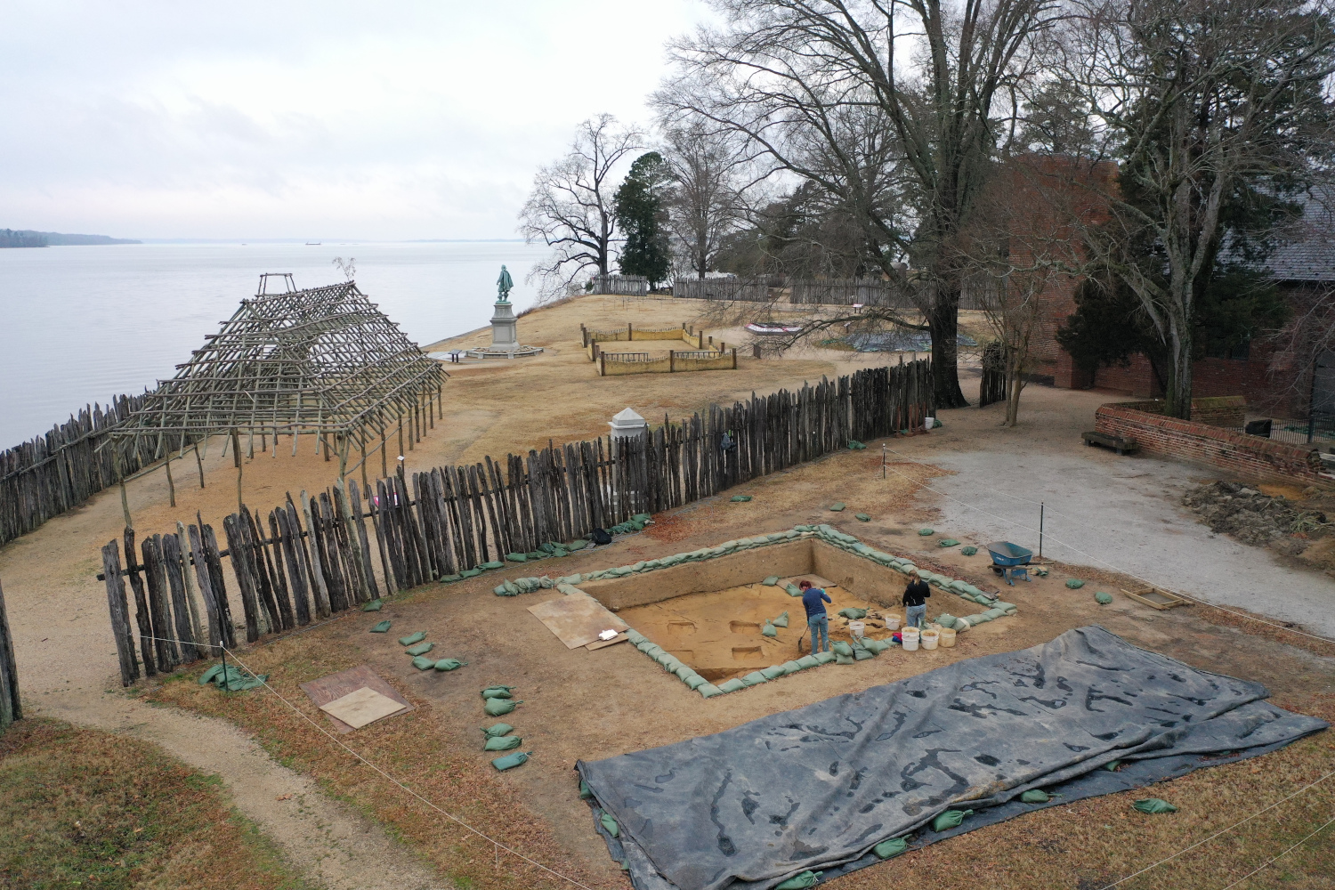
The combination of wind chill and precipitation the past month caused the crew to split their work between their excavations and their at-home projects. While several days were lost to rain and snow, progress is still being made at both Ditch 8 and the Seawall.
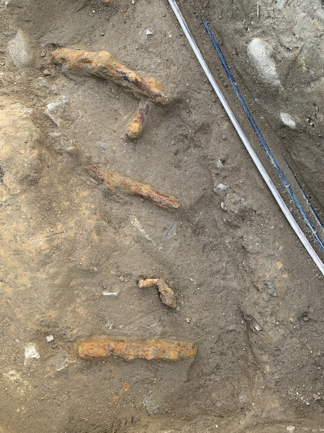
Excavations continue at the Seawall where a small portion of the unit east of JR4550, lovingly called the pizza slice, has been taken out. A thin, triangular slice of land between the east terminus of the Seawall and test unit JR4550, there may be more intact portions of a brick foundation a few feet down. Though still high up in relatively modern fill, one interesting find so far includes portions of a retaining wall. Likely related to the construction of the Seawall, all of the wood used in the construction has long rotted away. Instead, only the large iron spikes are still in place perpendicular to the Seawall, running in a row down the side. Evidence of the same retaining wall is also visible in test unit JR4551 to the east, along the sloping face of the Seawall.
The test unit furthest to the west, JR188, is almost completely down on top of a midden (trash pit). Possibly related to the midden in JR4550 beneath the brick foundation, the team is excited to start digging into it. Trash pits typically hold all sorts of artifacts, and these particular sections may belong to the James Fort period. Once excavations take place, the artifacts may give us a timestamp on when these trash pits were created and how long they were used for.
At Ditch 8, the team has finished removing all of the 20th-century landscaping fill and is working on identifying features. At the very least, there are three ditches intersecting within the 20’ x 20’ excavation area, though it is extremely difficult to tell which came first at the current level. After removing a couple more inches of soil and leveling out the units, the edges of each ditch should become more defined and will allows us to see which ditches are cutting each other. This will give us relative dates for each ditch; the artifacts taken out of the fill will narrow down the time periods.
Other identified features include two small post holes and two possible burials. At this point, it is unknown what structure or feature these posts are related to. There are no plans to investigate the burials. They will be left at their current elevation and mapped in for our records.
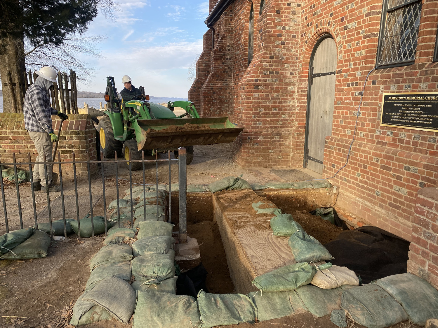
Excavations at the South Door have officially been wrapped up! Once the South Door unit was finished being thoroughly recorded (taking final mortar samples, last round of record photographs, double-checking written notes, and recording profiles), the test unit was finally backfilled. Filter fabric was laid down across the bottom of the unit (to signify to future excavators where we stopped) before the entire square was filled with dirt from the backfill pile.
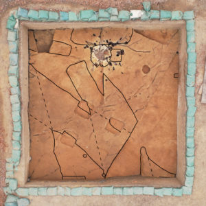
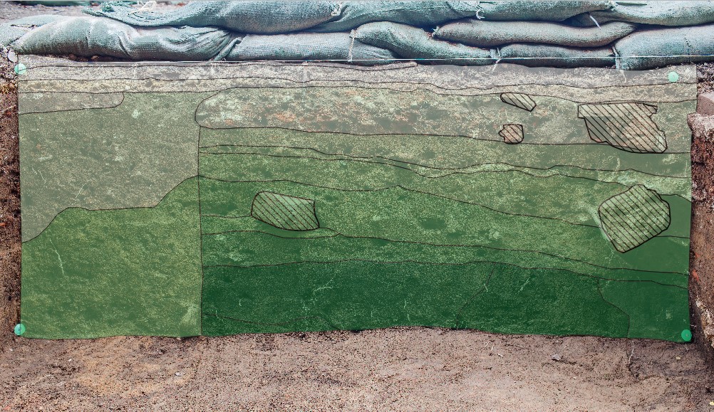
Instead of rigging a line level and drawing the South Door profiles by hand, we were able to map them using ArcGIS. At least four nails, one in each of the corners, were stuck into the profile before taking record photographs. Then, using our total station, we mapped in the locations of the nails, giving us their 3D coordinates. Once the photos were loaded into ArcGIS, the nail coordinates were entered to georectify the soil profiles, stretching the photos to place them directly on top of our local grid and ensuring that the profiles we drew would be as accurate as possible. Mapping out our soil profiles lets us record the layers we were digging through and gives us a sneak peek into the next test unit.
related images
-
- An overhead drone shot of the relatively modern fill in the pizza slice unit. The iron spikes related to the retaining wall are visible on the right side of the unit. The brick foundation we are following from test unit JR4550 is visible towards the top of the photo.
-
- A closer image of the iron spikes related to the retaining wall used in the construction of the Seawall. The clay fill on the left is a part of the builder’s trench for the seawalk topping the Seawall.
-

- The retaining wall spanning across test units JR4551 and JR4550.

-
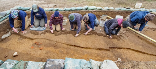
- Archaeologists Natalie Reid and Caitlin Delmas beginning a shovel pass at Ditch 8.
-
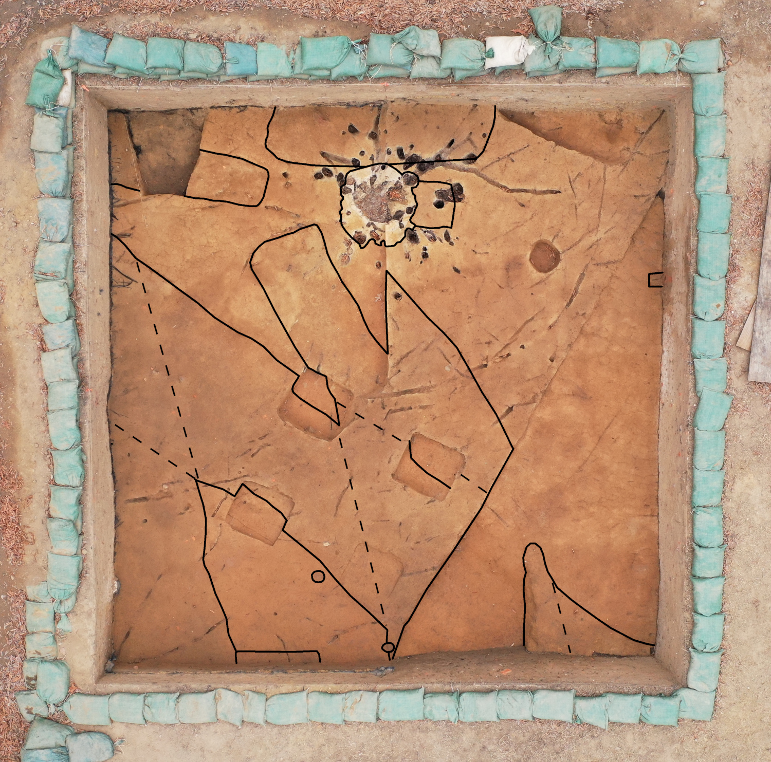
- An overhead drone shot of Ditch 8 where features were beginning to appear. The solid lines are the edges of features, whereas dotted lines represent areas where the ditches intersect.
-
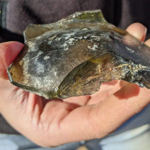
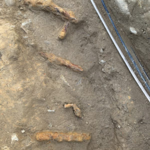
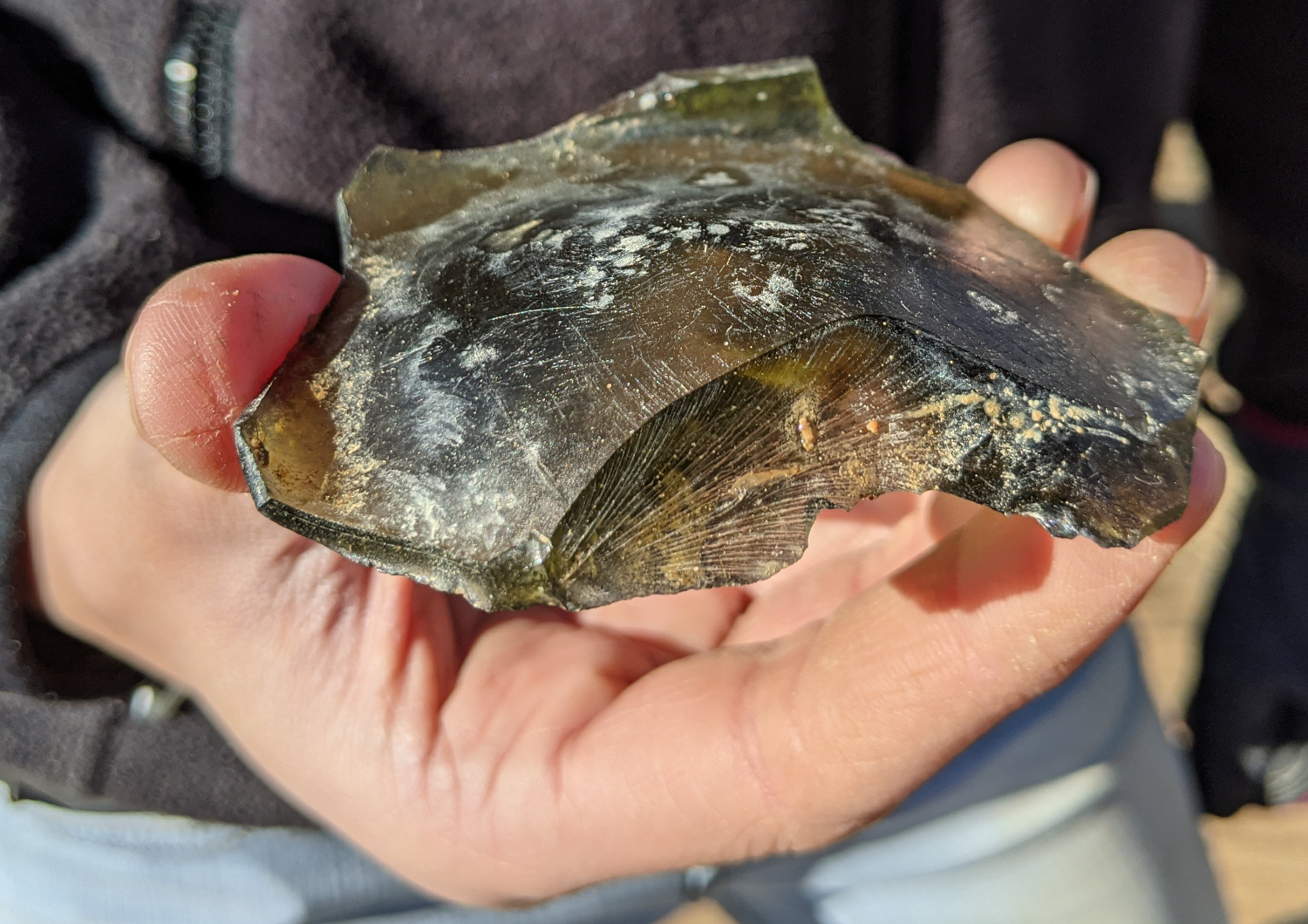
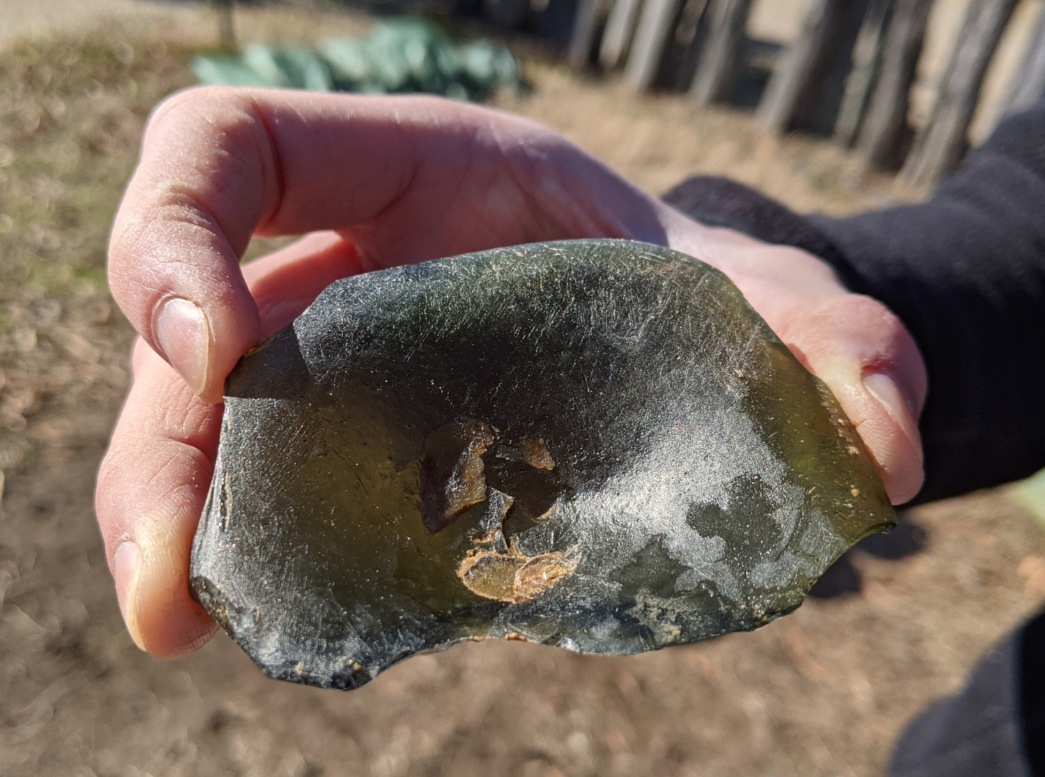
- The bottom of a case bottle found within Ditch 8 fill.
-
- The same case bottle bottom flipped over. From this angle, the pontil mark on the base of the bottle is visible.
-
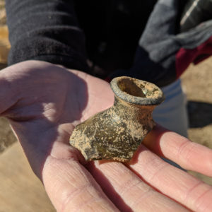
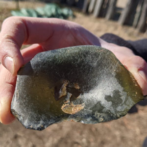
- The top of a case bottle found while removing fill from where two of the ditches intersect at our Ditch 8 excavation site.
-
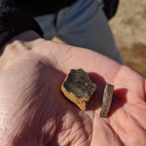
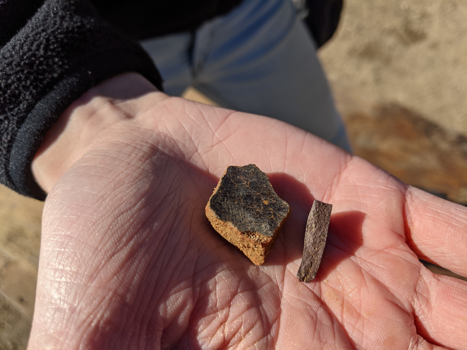
- A couple of ceramics found in the same fill as the case bottle top. Pictured are a sherd of redware and Midlands Purple.
-
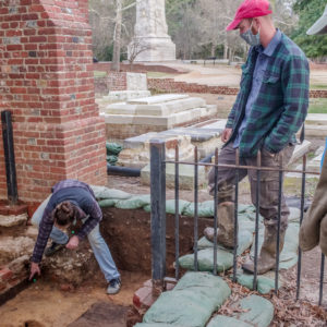
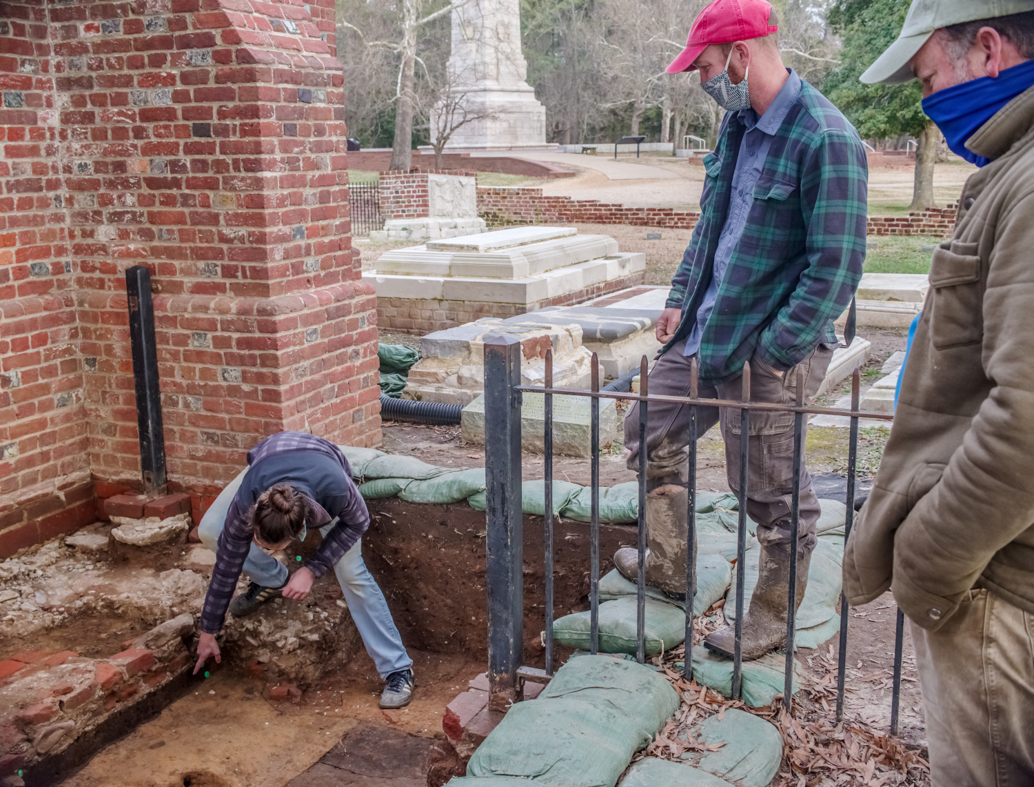
- As Director of Archaeology Dave Givens and Senior Staff Archaeologist Sean Romo look on, Site Supervisor Anna Shackelford points to the edge of a planting furrow running beneath the brick pad entry way in the South Door unit.
-
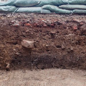
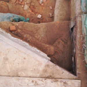
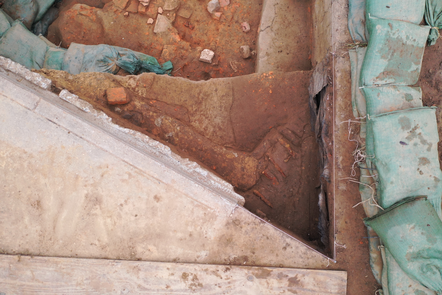
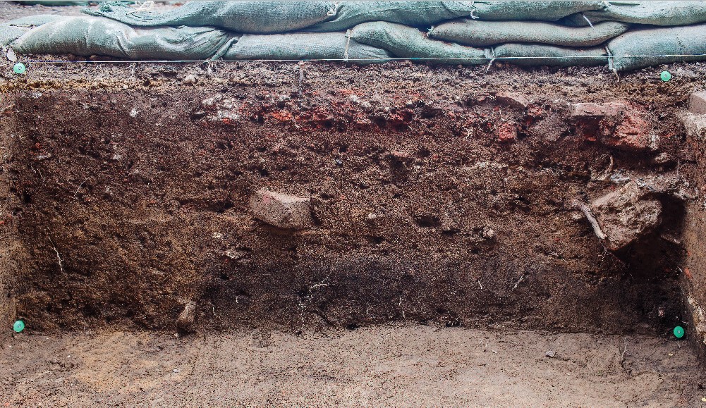
- The record photo of the south profile for unit JR4443. This is the base photo used to trace the lines in the profile in ArcGIS. The nails (surrounded by green plastic) that were used for georectification are visible in the four corners of the profile.
-
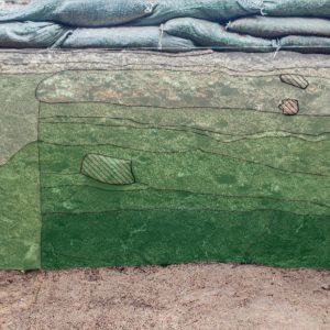
- The shapefile created in ArcGIS that outlines the separate layers and features in the wall of the test unit. The hashed lines represent large chunks of brick and tile sticking out of the wall.
-
- Senior Staff Archaeologist Sean Romo delivers a bucket of dirt to the South Door unit during backfilling. Archaeologist Ryan Krank waits to direct the backhoe and spread dirt evenly throughout the unit.