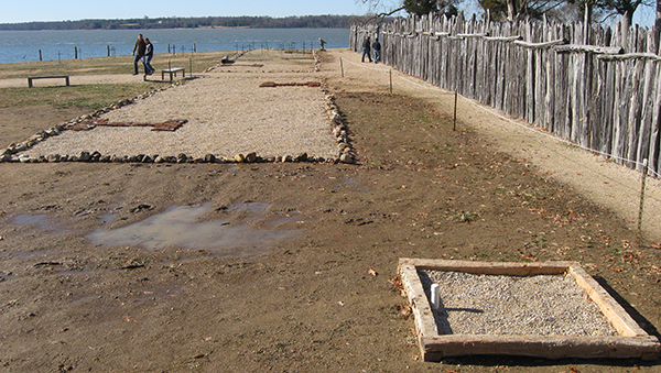
In late November and early December the field crew spent several weeks repairing and building interpretive structures on the James Fort landscape. This included annual maintenance on the palisades, the crosses (marking graves), and the barrack’s frame. The crew also added several features in the fort to assist with the interpretation of what the archaeologists have found in more recent years. These include 3-foot-tall posts marking Structure 183’s postholes (the cellar with the bread ovens and blacksmithing waste excavated in 2007), wooden beams laid on the ground to define the limits of the square well (likely James Fort’s second well, in the northern corner of the fort) and more beams to outline the limits of the cellar/well (likely James Fort’s first well found last year near the geographic center of the fort), the eastern end of Structure 175 (one of the large row houses situated along the western wall) was outlined using cobbles, and posts were placed flush with the ground surface to designate where the fort’s first storehouse’s postholes had been previously identified.
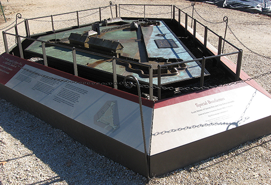
At the fort site the archaeologists often wrestle with how to interpret what we have found, after the necessary backfilling of the dig site for its protection from the elements. The aforementioned interpretive schemes are one way, but certainly not the only way, of communicating to the public what we have found and where we found it. Another way for visitors at the physical fort site to learn about where things have been found in the fort is through a cast bronze model of the fort completed in 2007 (several major components to the fort have been discovered since the completion of this model). In the future we hope to experiment with more avenues of site interpretation at James Fort. It is hoped that soon there will be added signage within the fort to inform the public about what has been discovered in the backfilled areas.
related images
-
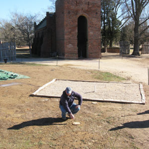
- Archaeologist Dan Smith points to a wooden post used as a marker to show the storehouse location.

-
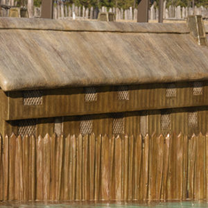
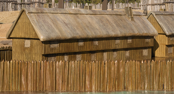
- Structure 175 in the model
-
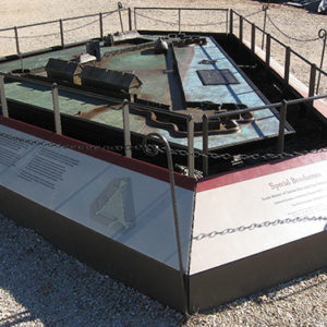
- James Fort model
-
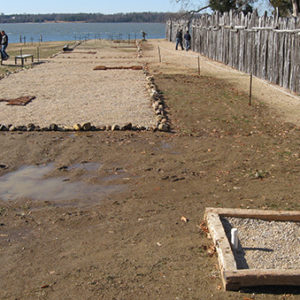
- The square well excavated in 2006 is represented by wooden beams and filled with gravel. In the background the two row houses are seen outlined with cobblestones.
-
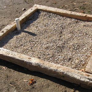
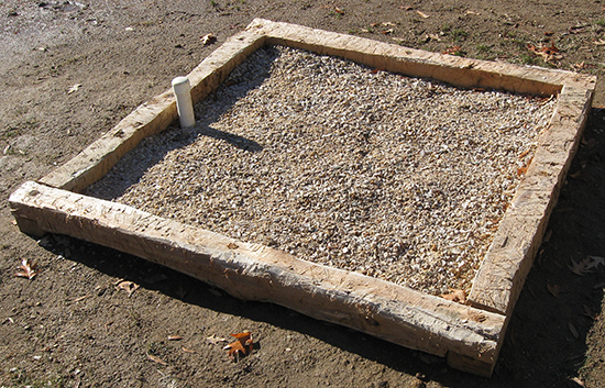
- This a close up of the wood beams and gravel used to mark the location of the fort’s second well.