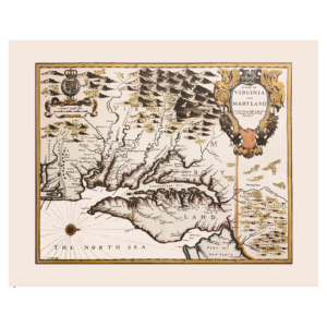
Description
Guillaume de L’Isle’s Louisane is recognized by all historians of cartography as one of the most important maps of America. It was the first to use Texas as a place-name, its depiction of the Mississippi valley is strikingly accurate, and it was the earliest map to show the routes of such early explorers as DeSoto, Cavelier, Tonty, and Denis.
Size: 15 1/2 x 20 1/2 inches. Color, Text Weight Paper, rolled