Description
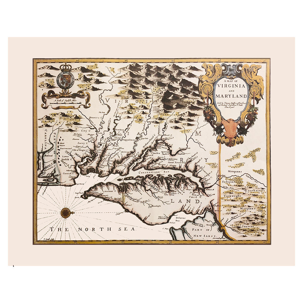
This full color replica of Thomas Bassett and Richard Chrisswell’s 1676 map of Virginia, Maryland, and the Chesapeake Bay is reproduced from an engraving in the collection of Historic Urban Plans Inc., created originally by Francis Lamb. It is often referred to as the ‘Speed Map of Virginia and Maryland’, due to its publication in the 1676 reissue of John Speed’s atlas, The Theatre of the Empire of Great Britaine. This map is considered by scholars to be the final derivative of John Smith’s 1612 map of the same region.
Uniquely oriented to the west, this map notes Indigenous Native American villages and lands throughout the region, as well as early European cities of modern day Virginia, Maryland, and Delaware, with a focus on the Chesapeake Bay.
Map measures 23” x 17 ½” and comes rolled


