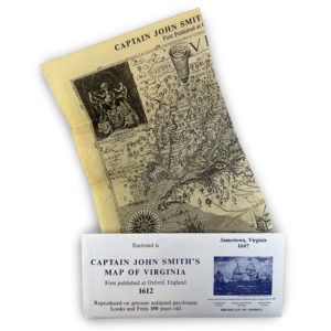
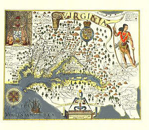
Description
This poster is a recreation of a 1639 engraving by Dutch cartographer Johannes Vingboons. Information used to create this map was provided by the logs of Dutch ships, which explored the James River in 1617 in an attempt to develop tobacco trade in the area.
Published by the Association for the Preservation of Virginia Antiquities
Poster measures 26” x 19”, comes rolled.