While the summer may be winding down, our excavations are moving ahead full throttle! The crew has been busy making some fascinating discoveries at the Seawall and west and north of the historic Church Tower.
Excavations at the seawall site over the last year have proved somewhat challenging. The upper three feet of soil in the test units we opened were modern layers related to the seawall construction (ca. 1901-1904) and shoreline enhancement. The multiple 20th-century utility lines related to Preservation Virginia’s gatehouse traversed the area and slowed the dig. However, the most difficult obstacle the team faced was the water inundating the sites due to rainwater soaking into the ground north of the site, and then gradually draining into them.
The 1607 Fort site, south churchyard, and part of New Towne all drain to this location. Sumps, pumps, and sandbags have prevented some damage from the water seeping into the test units. Unfortunately, Jamestown Island is experiencing more storms that frequently bring torrential downpours and a greater accumulation of water than in the past. The veteran Rediscovery team has noticed a change in the occurrence of substantial storms and an increase in the amount of rain they bring. While storms 15-20 years ago would drop between 1-2 inches of rain, we frequently have storms now that dump 4-8 inches per event.
Until last month, the team had been successful in preventing the storm runoff from affecting the sites. However, a storm over one weekend dumped about 5 inches of rain and the runoff broke through the sandbag berm to protect the far western unit. Once through that barrier, the water eroded the northern profile and entered the unit. Enough water got in to submerge the bottom of the unit completely and to collapse some of the sidewalls. Fortunately, it appeared the layer of trash midden that the team had been working on remained intact below the muddy silt, and no information was lost. However, because the side walls in the unit were undercut, it was deemed unsafe to continue the excavation. The team agreed to return to the unit in the future with a new plan for how to stop the water further uphill. Thankfully, the other units suffered minimal damage from that storm and work continues in both units.
Progress in the middle Seawall test unit is moving along swimmingly. While the majority of soil removed was related to the construction of the Seawall in 1901, the team has also begun excavating the intact section of the midden to the north. Excavating through the midden yielded a higher number of artifacts. We have been water screening all the material from the midden to ensure a full recovery. We are also still working on investigating the brick foundation located in the northwest corner of the test unit. It is likely that this foundation is related to the other brick foundations found just to the west.
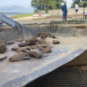
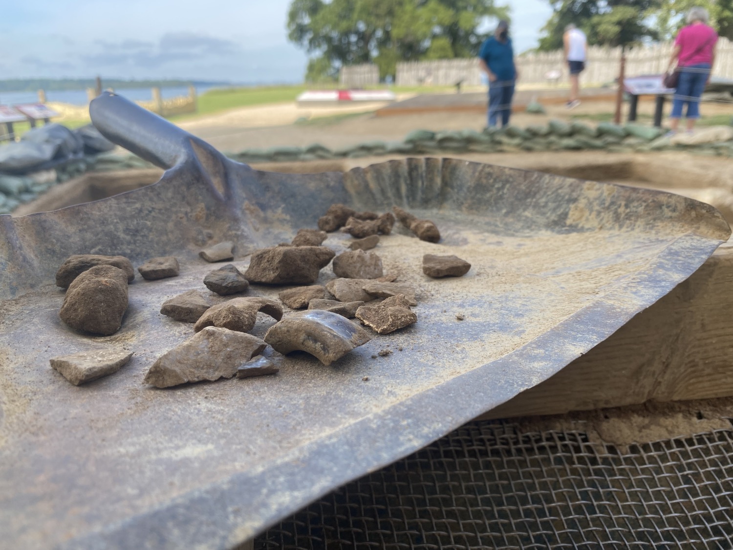
The team has already found several exciting artifacts: lead shot, window lead, sherds of Bartmann jugs, Westerwald sherds, large animal bones, tons of clay pipe fragments, as well as some iron objects. While we do not know what these iron artifacts are yet because they are so heavily corroded, we may have a better idea once we are able to x-ray them in the lab. Perhaps the most exciting so far has been a collection of silver-wrapped threads along with tiny beads. Finding precious metals is extremely rare since people tend to hold onto them as long as they can!
More of the Bacon’s Rebellion burn layer has been uncovered at the West Tower site. Located directly beneath historic landscaping fill related to the 1680s church, the carbon-rich soil stretches to the north at least as far as the entrance to the Tower. Unlike the previously excavated sections of burning, the top of the layer in this test unit is not just blackened soil. Instead, there are also patches of reddish tan, purple, and grey soil. Some of these areas may indicate where material burned atop the ground surface, leaving trace amounts behind.
Another surprising find was a deposit of oyster shell, likely associated with making mortar for the ca.1680s Tower. This deposit’s location directly atop the burn layer is further evidence that Bacon’s Rebellion was the result of this fire, as the Tower was built directly after it in the 1680s. The landscaping fill around the oyster shell layer also held pockets of mortar and plaster, probably also related to Tower construction.
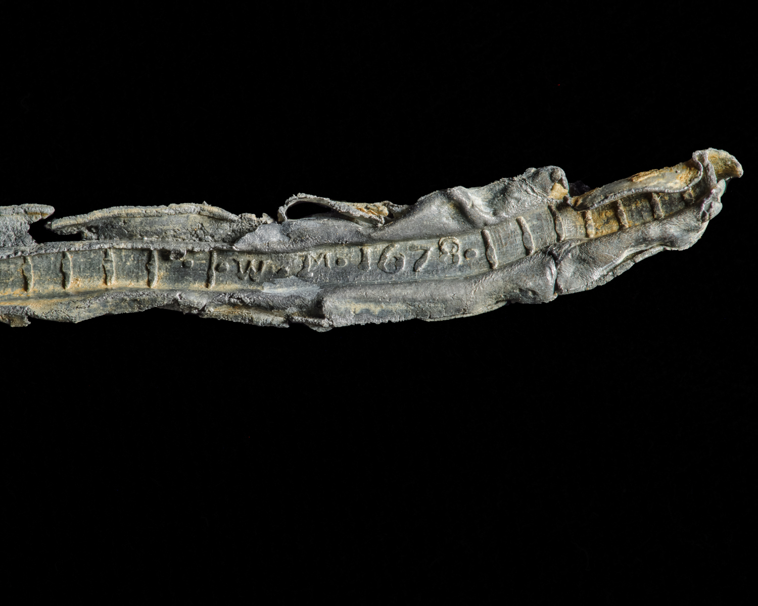
The layer that sealed the burning contained a large number of window leads. None of these leads were melted, indicating that they post-dated the fire. It is likely that these relate to the construction of the brick Church Tower and reconstruction of the windows after Bacon’s Rebellion. Like coins, window leads often have dates of manufacture impressed into them. As a result, they can serve as diagnostic indicators as to when a deposit or layer dates. There are three different dates represented in the window lead assemblage: 1655, 1678, and 1693.
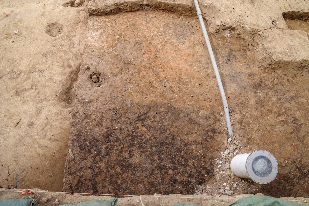
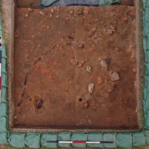
At our North Tower excavation site, the crew has found that the modern landscaping fill and gravel sealed intact 17th-century deposits. There were no early 20th-century Preservation Virginia landscaping layers in this area. Directly sealed by the modern soils, we uncovered a compact clay layer containing a high concentration of cobblestones and bricks along with occasional patches of canary yellow clay. The canary yellow clay, cobblestones, and brick all appear to relate to the 1617 Church foundations. However, this deposit likely relates to the construction of the Church Tower in the 1680s. As the laborers dug the builder’s trench for the Tower foundations, derelict portions of the 1617 Church foundations were tossed off to the side of the active construction site, where we are finding them today. The cluster of cobblestones and bricks is most concentrated to the south – near the Tower – and peters out toward the north. Many of these scattered cobblestones are similar to the ones incorporated into the old church foundation, including a few pieces of Bermudan limestone as well as a millstone fragment.
The crew has also begun removing the layer below the 1617 foundation scatter. Filled with heavy amounts of brick, it is likely historic landscaping fill associated with the 1640s or 1680s church. If we are lucky, we may even find intact portions of the same brick pathway uncovered at our West Tower site. Once all of the brick rubble is removed, we will uncover a portion of the early James Fort-period trash pit we are interested in investigating.
related images
-
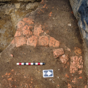
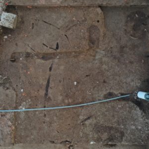
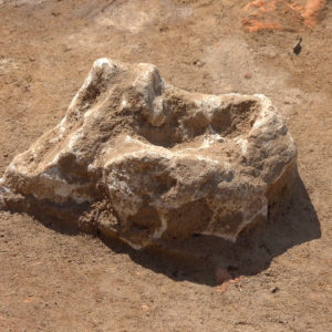
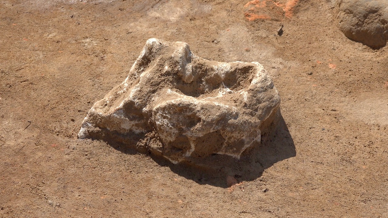
- A photo of the partial brick foundation found within the middle Seawall test unit. These foundations may be related to those found in the test unit to the east.

-
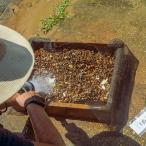
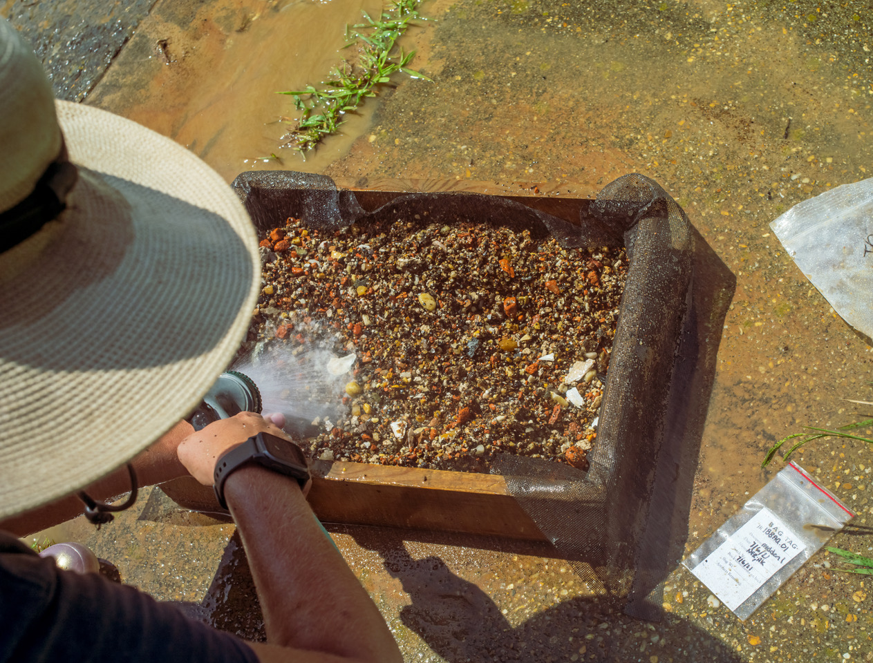
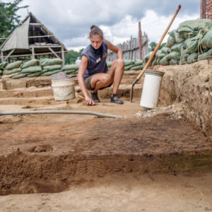
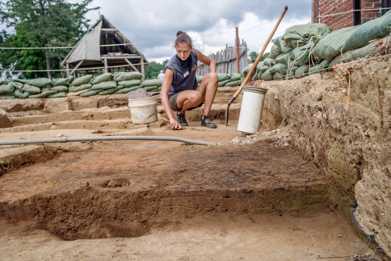
- Archaeologist Nicole Roenicke sprays down material collected in the window screens while waterscreening to rinse out the remaining dirt. All of this material will be picked through later in order to find extremely small artifacts.
-
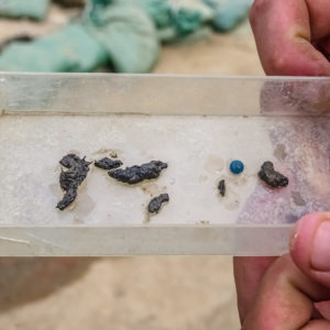
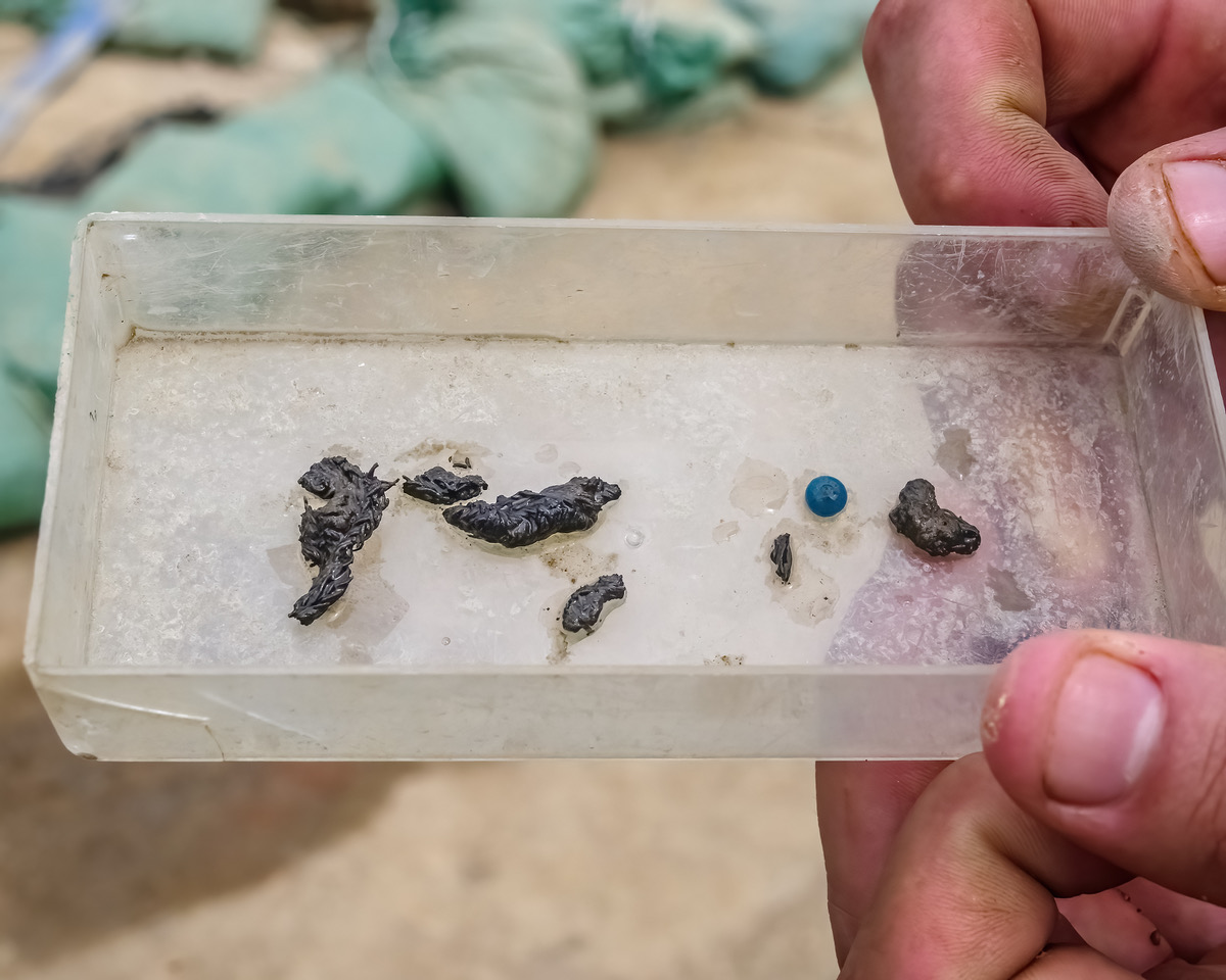
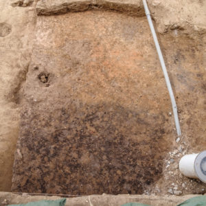
- Some pieces of the silver thread found down by the Seawall site .while waterscreening. It is very rare to find precious metals while excavating, especially in trash deposits.
-
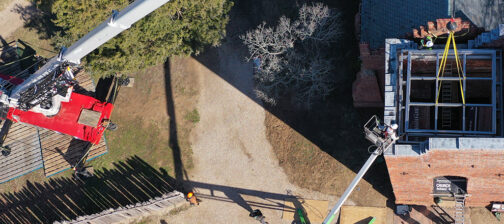
- A drone shot of the West Tower Unit. This photo was taken after the removal of the more recent historic landscaping deposit. A large concentration of mortar and plaster is located in the bottom right corner – material likely associated with the construction of the Church Tower in the 1680s.
-
- Another drone shot, this one taken after the removal of the rest of the historic landscaping fill. Deposits of note included all of the burning to the south and west, as well as the oyster shell deposit located in the northwest corner.

-
- A section of the burned layer uncovered at the West Tower site. The thin lens of reddish burning is visible to the left, capping the blackened burn layer in the soil profile.
-
- The same burn layer from a different angle. The reddish burn deposit contrasts starkly with the burn layer we have seen elsewhere.
-
- Site Supervisor Anna Shackelford points to the layer of oyster shell uncovered at the West Tower site. This deposit is likely remnants of oyster shell burned for lime to create mortar during the construction of the Tower. Deposited directly atop the burning, it is further evidence that the large fire event is Bacon’s Rebellion.

-
- An assortment of artifacts recovered from the earlier historic landscaping fill layer. Many of these artifacts exhibit signs of burning – blackened/charred earthenwares, burnt mortar, and burnt rocks.
-
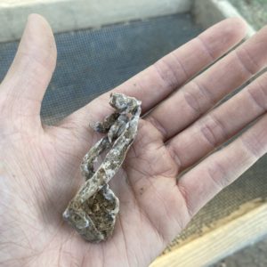
- A window lead recovered from the concentration of mortar and plaster at the West Church Site. Likely discarded during Tower construction, conservationists will be able to clean and open the lead to investigate for manufacturer initials and dates.

-
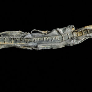
- One of the window leads recovered from the West Tower site. After being cleaned and opened in the lab, the initials W.M. and a date of 1678 are visible.
-
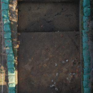
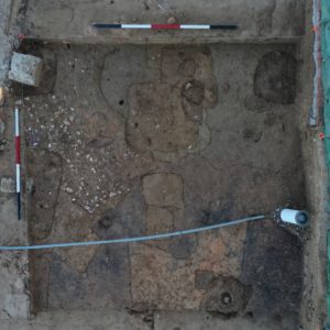
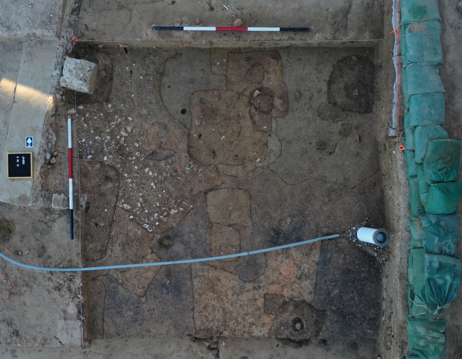
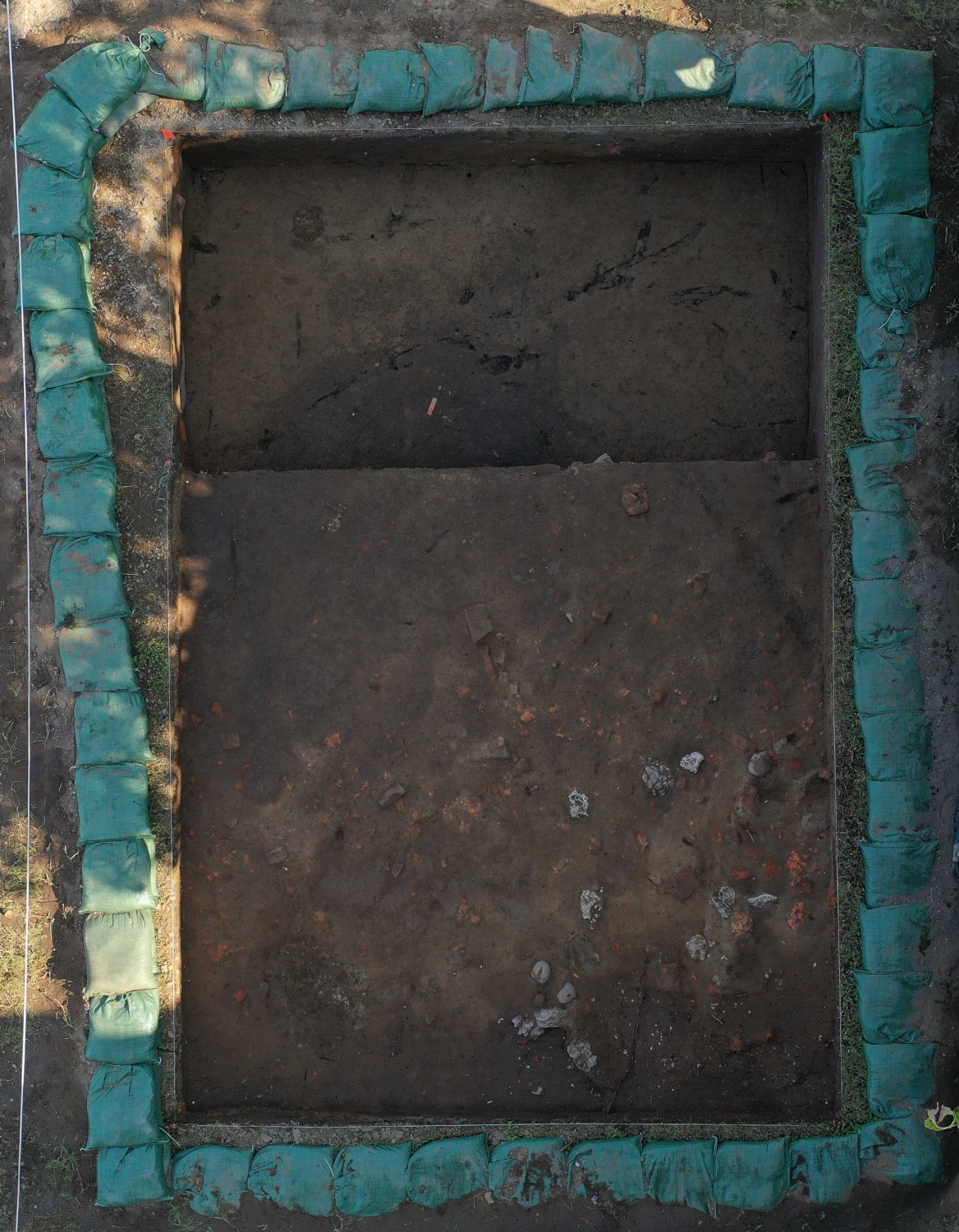
- A drone shot of the full North Tower site. The lower section up top is already down to the level we want to investigate. The full 10’ x 10’ test unit below shows the scatter of cobblestones and bricks discarded during tower construction. We are working to excavate the unit down to the same elevation to investigate early James Fort-period features below.
-
- A drone shot of North Tower Test Unit. The scattered 1617 deconstruction debris is visible on the right half of the test unit, while the left half is the brick rubble-filled layer beneath. Once we are down on to the next layer, signs of the early James Fort-period features we are interested in should begin to appear.

-
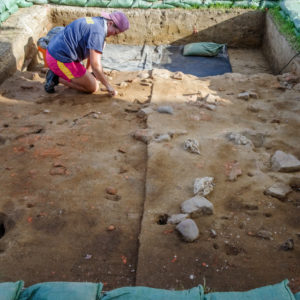
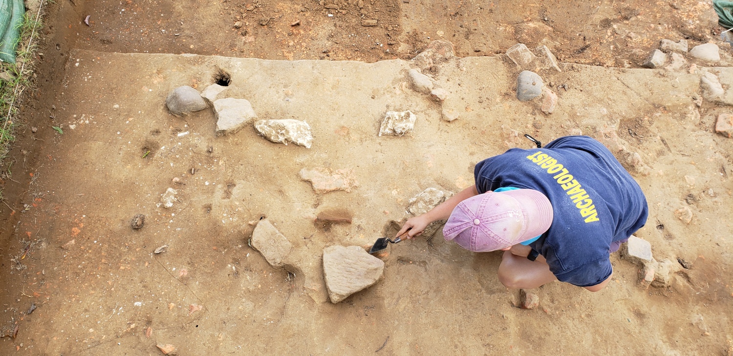
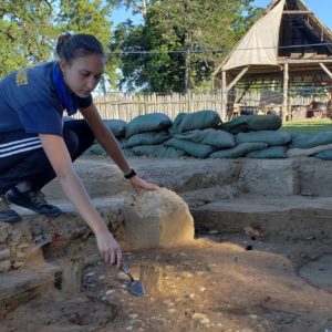
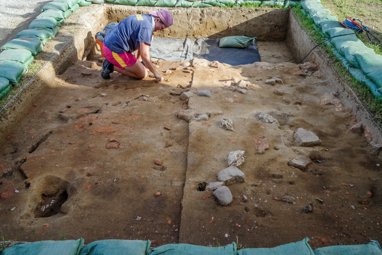
- Archaeologist Caitlin Delmas trowels the North Tower site, cleaning to distinguish features from the surrounding soil.
-
- A piece of Bermudan limestone recovered from the North Tower site. Multiple pieces of Bermudan limestone were included in the discarded cobblestone and brick layer. This rubble was pieces of 1617 timber frame church foundation thrown to the side after it was disturbed as the Church Tower was constructed in the 1680s.
-

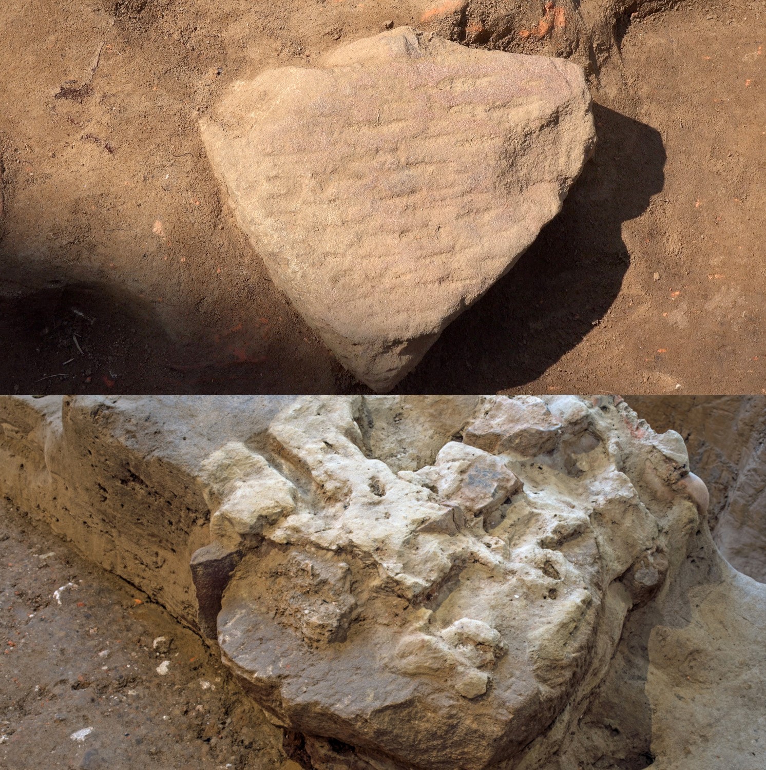
- A piece of a millstone (top) included in the cobblestone/brick layer at the North Tower site. During Memorial Church excavations, another millstone fragment was found incorporated into the 1617 Church foundation (bottom).