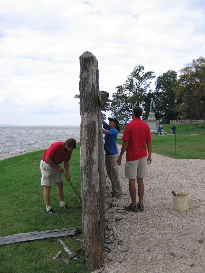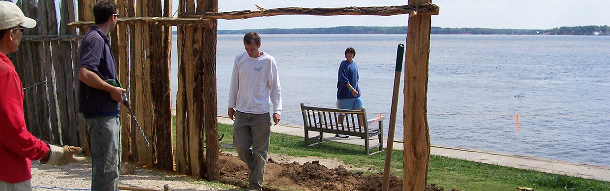
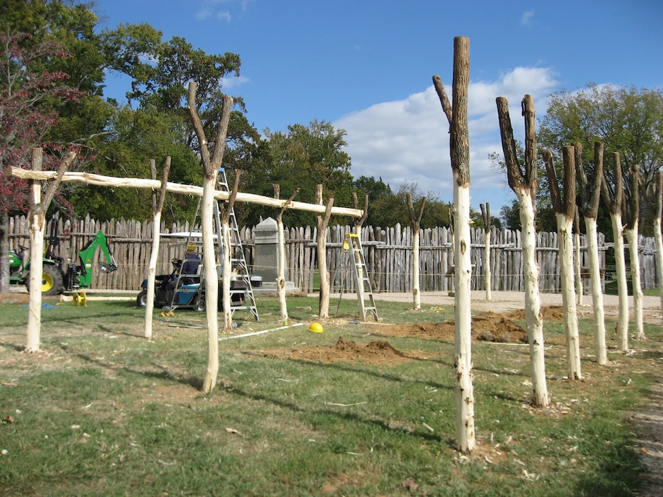
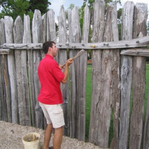
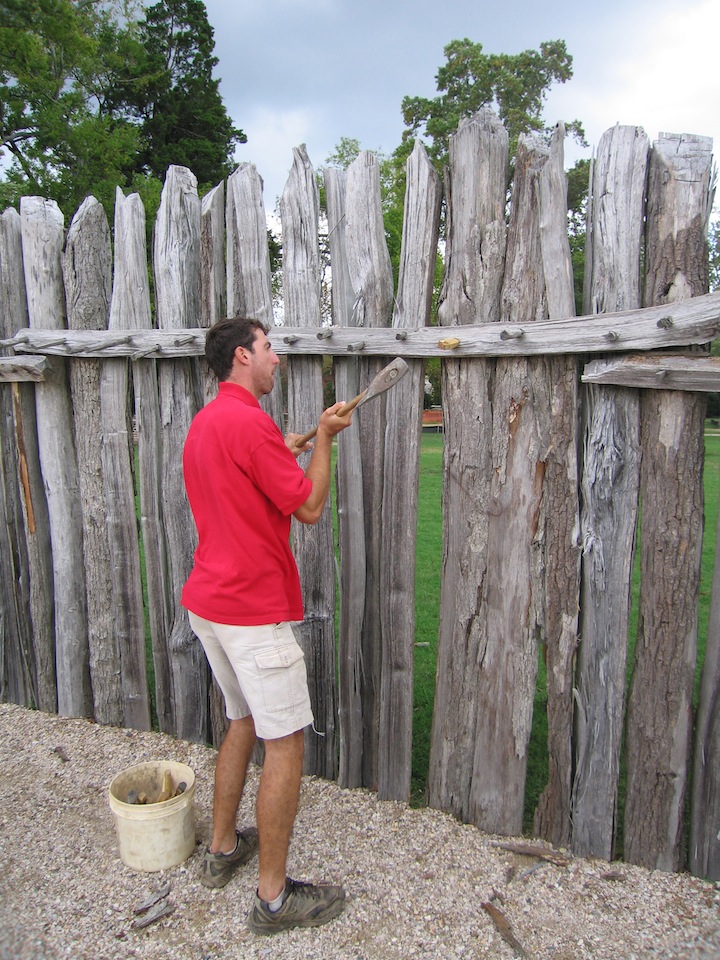
Though James Fort ceased to exist over 350 years ago, 12 years of archaeology have revealed its walls’ exact footprint on the landscape. The archaeologists have traded in their trowels for axes and are busily constructing a visual representation of the original three-sided fort’s walls precisely where they stood in 1607. The entire northern bulwark, most of the western palisade wall, the part of the southern wall that isn’t lost to the James River, and a portion of the eastern palisade wall have been constructed. In addition to the fort’s walls, the archaeologists are building one of the structures they excavated just inside the southeast corner of the fort. This “experimental archaeology” project will help both visitors and the archaeologists better understand the layout of the fort and the methods used in its construction.
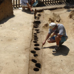
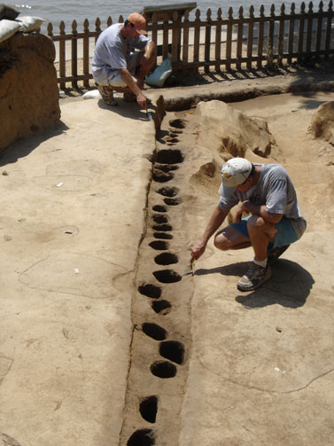
With the discovery of the western palisade wall in 2003, all three walls of the original 1607 fort have been found. All that remain of the walls are stains in the soil, earth of a different shade that has been colored by rotted wood, ash, and soil that was backfilled by the colonists who built it 400 years ago. The exact footprint of each wooden log that made up the palisade walls could now be examined. The colonists used round logs, logs split in half, triangular-shaped logs and many variants thereof.
In order to give visitors a better understanding of the fort on the landscape, the archaeologists are continuing to build the three palisade walls in the exact location where they stood. The walls are a bit shorter than the 17th-century originals probably were, but the archaeologists can’t dig as deeply to support longer posts due to the fact that they don’t want to disturb the actual archaeological excavations below. The excavations themselves were covered by tarps and then backfilled with several feet of soil before the palisade construction began. The palisade wall surrounding the northern bulwark—one of the three cannon emplacements at the corners of the fort—has just been completed and the archaeologists are continuing to work on sections of the eastern palisade wall near the 17th-century church tower.
Building the palisade wall has given the archaeologists insight into not only the construction of the walls but also the maintenance required to keep the structure defensively viable. Sections of the wall built in 2001 are already starting to rot and will break with not much more than a strong kick. Several times in the early history of the colony it was noted that the fort’s walls were in a state of disrepair. The experiences of actually maintaining the previously built palisade sections demonstrates that the colonists would have had to have been vigilant so as to keep it in good working order. The archaeologists are mainly using black locust for the construction of the walls due to the fact that it weathers the elements better than other types of wood. Where black locust was used on older sections of the wall it is indeed in better shape than logs made out of other types of wood.
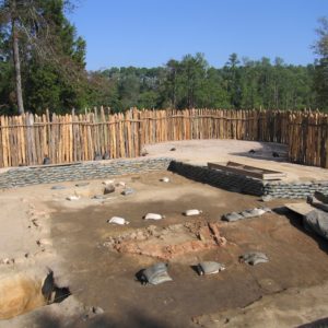
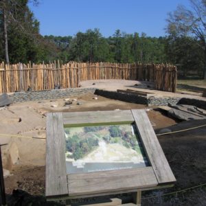
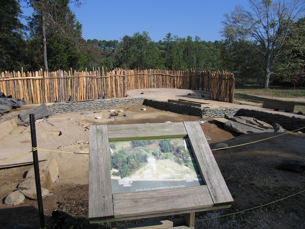
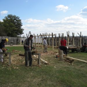
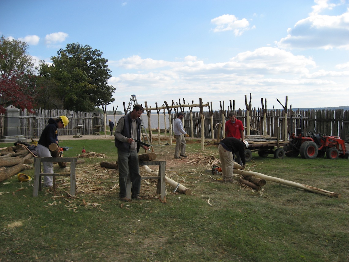
In addition to the palisade wall, the archaeologists are engaging in “experimental archaeology” project—constructing a representation of a building found just inside the southeast corner of the fort. Excavated in the late 1990s, Structure 160 is thought to have been built using “mud and stud” construction, a building type popular in contemporary Lincolnshire, England. From Jamestown Rediscovery 1994-2004 by William M. Kelso with Beverly Straube:
“Mud and stud construction requires only a crudely aligned light frame of young trees seated in the ground and vertical smaller “studs” between them to support walls of mixed earth…the almost random and slightly out-of-line support postholes found [at Structure 160] strongly suggest this traditional Lincolnshire folk-building tradition. It is also not surprising that Captain John Smith, who directed much of the building at the fort, and William Laxon, a carpenter, were both from Lincolnshire and certainly familiar with the mud and stud tradition.”
The archaeologists are using a transit to remap the positions of the original postholes for the building, moving a few feet, and then digging their own postholes. In this way they can build the structure using the exact layout supported by the archaeological evidence while not disturbing the original postholes themselves.
Though most of the archaeologists’ time has been spent on the palisade and Structure 160 construction, some excavations have taken place as well. The possible defensive ditch discussed in September’s update turned out to be much smaller than the archaeologists thought it might be. It may have been one part of a larger defensive structure but by itself, being less than ten feet long, it wasn’t one single long moat.
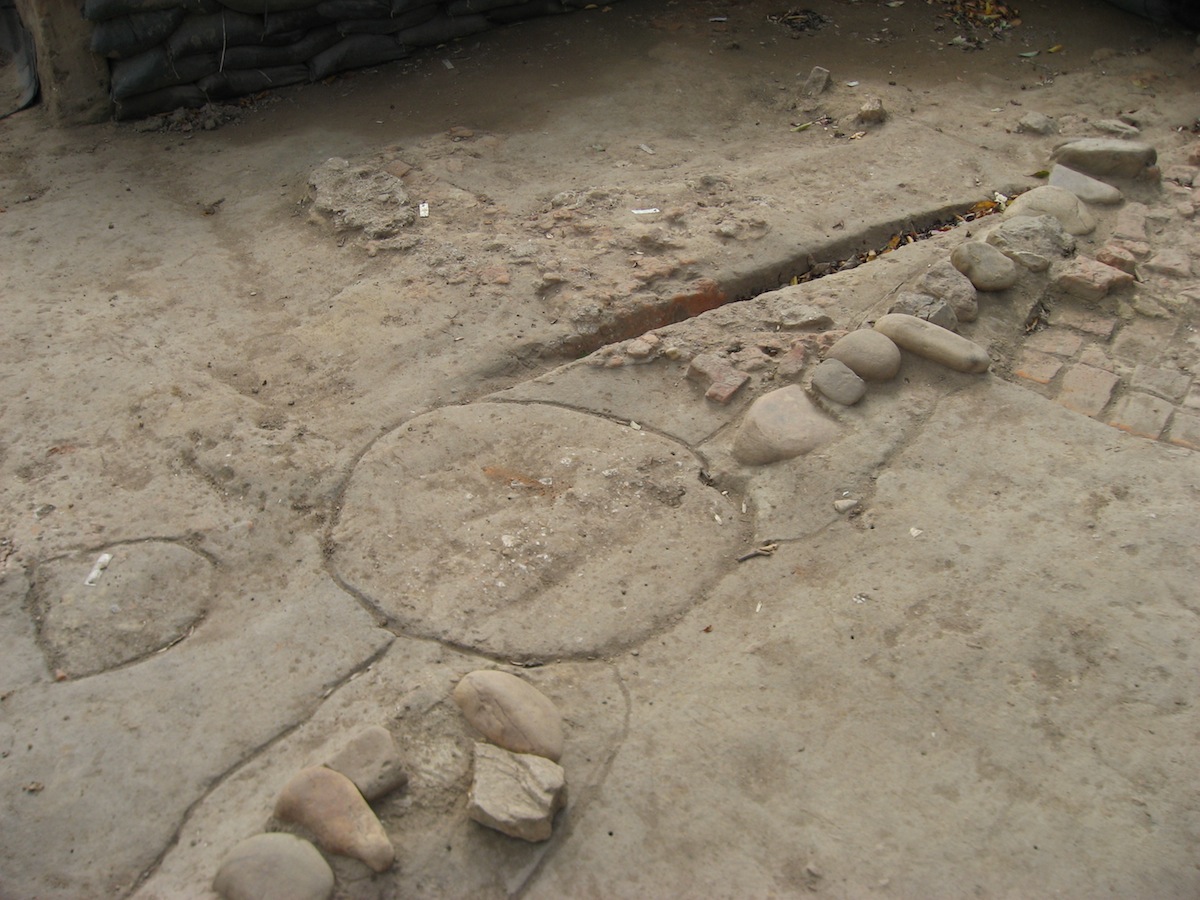
A 20-foot-wide building which length runs almost due north/south has been found in the same area as the governor’s house. The evidence for the structure comes in the shape of several large postholes, some of which truncate or “cut through” the governor’s house’s foundation. Because of this archaeological relationship, the archaeologists are certain that the structure was built after the governor’s house was no longer standing.
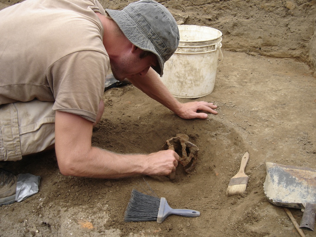
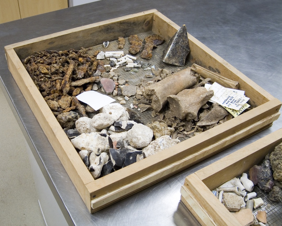
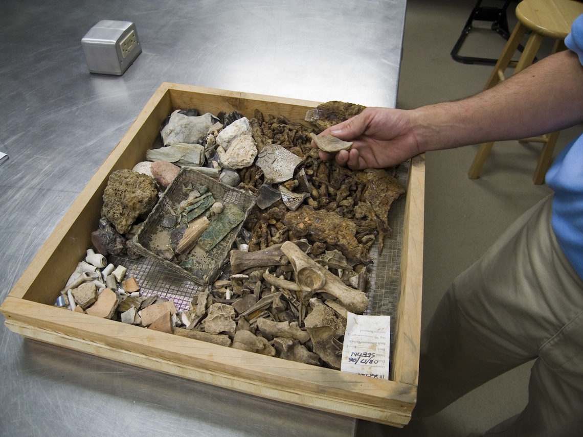
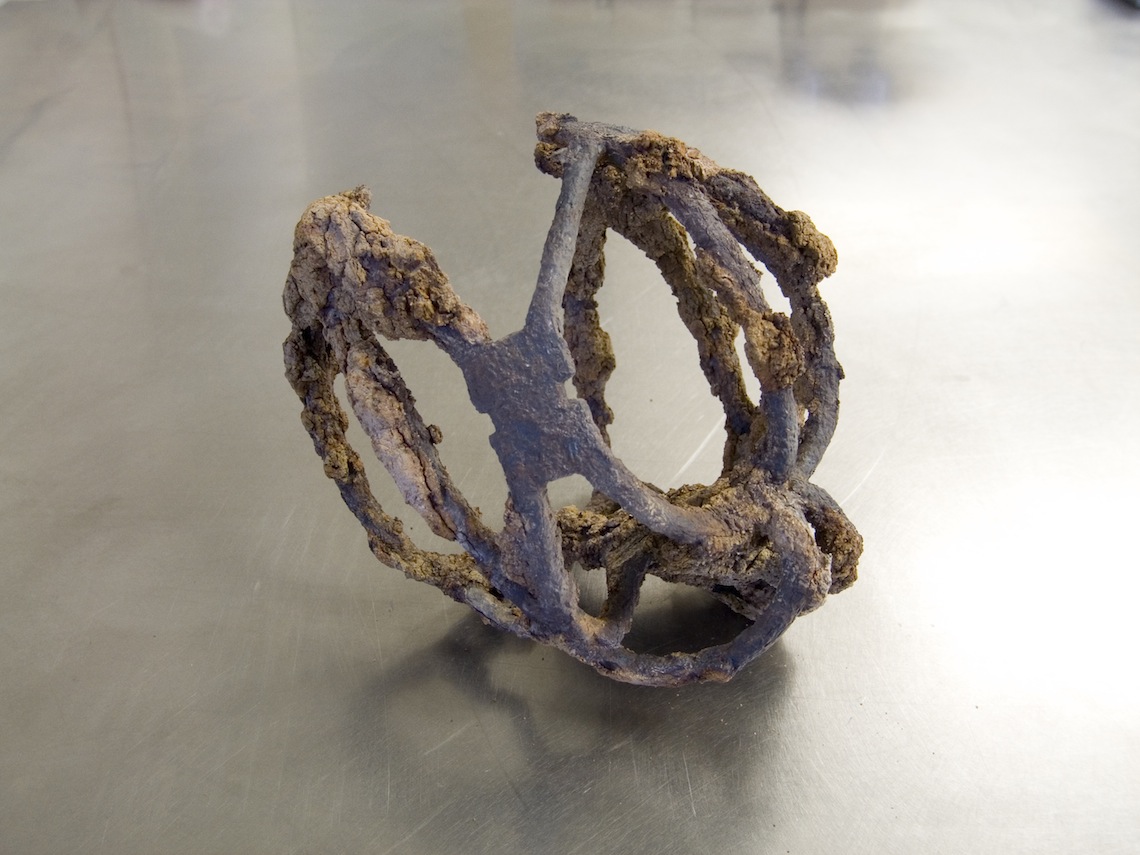
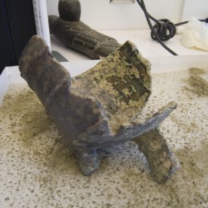
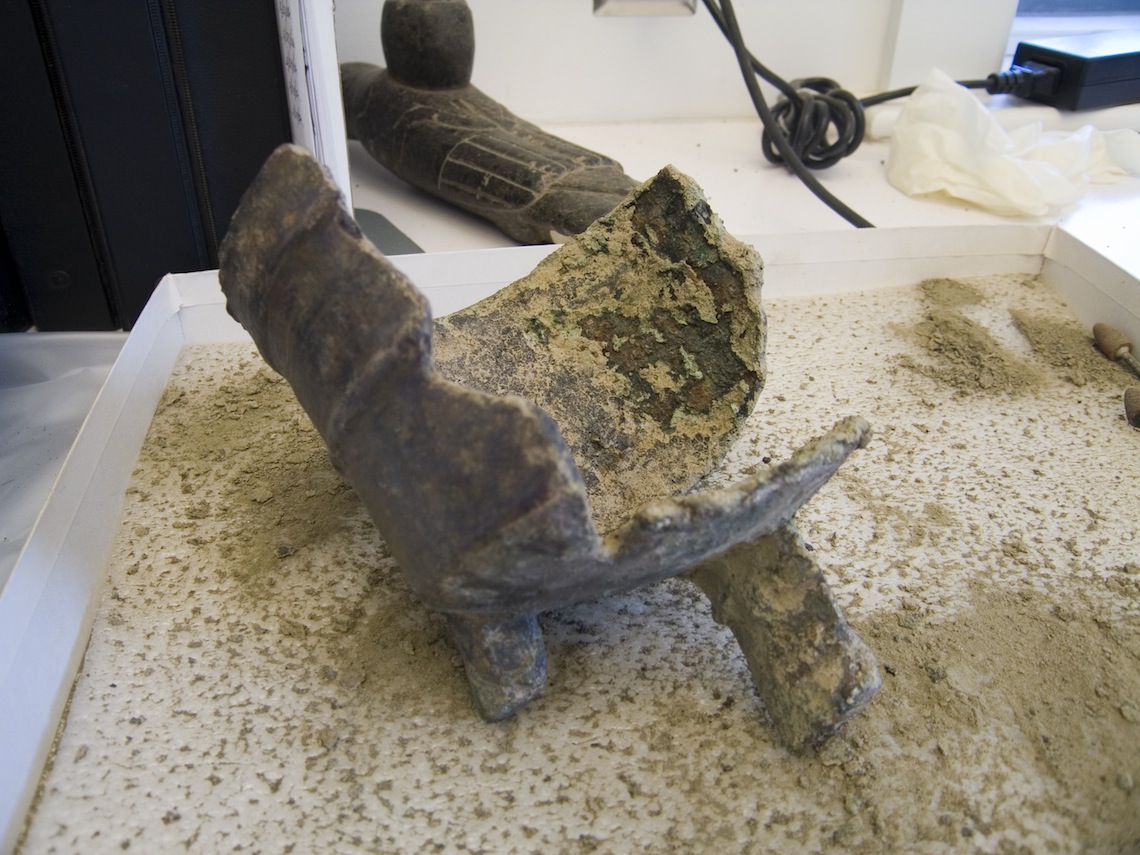
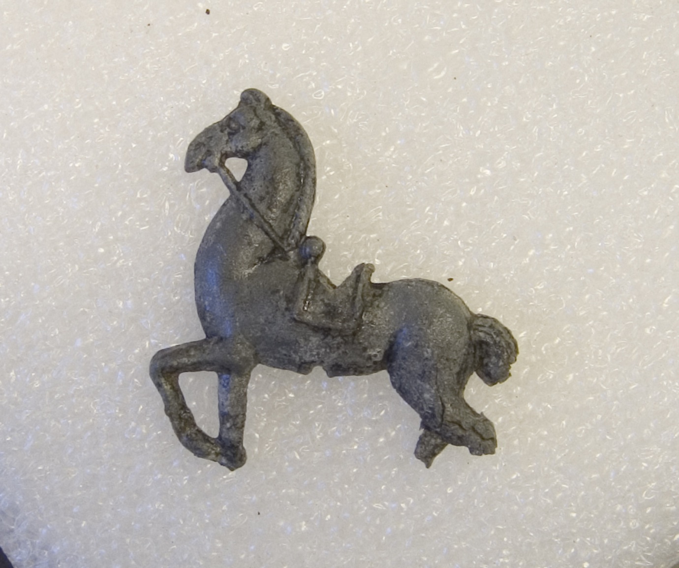
Several artifacts from the subterranean cellar/well feature are now being conserved and analyzed. Though the excavations haven’t gone deep enough to ascertain the exact nature of the feature, the top layers have yielded a wealth of interesting fort-period artifacts. A basket hilt for a sword, perhaps of Scottish origin and dating to around 1600 was found in the feature. Conservators are painstakingly removing the rust that encrusts its intricate design. A saw blade was also found in the feature and it is almost completely covered in rust. A small lead horse, having a hole in its belly for a stick with which to hold it, was another of the many artifacts discovered in the top layers of the feature. The horse was most likely a children’s toy.
related images
-
- View of the dig and newly-constructed northern bulwark palisade wall

-
- View of dig and the newly-constructed northern bulwark palisade wall
-
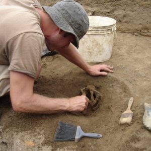
- Basket hilt discovered in pit feature
-
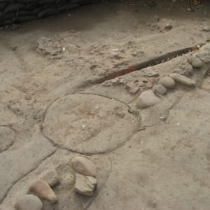
- Circle outlines hole which was dug to hold a posthole for the twenty-foot-wide building. Note that it transects the governor’s house’s cobblestone foundation.
-
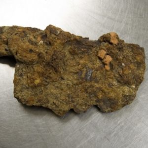
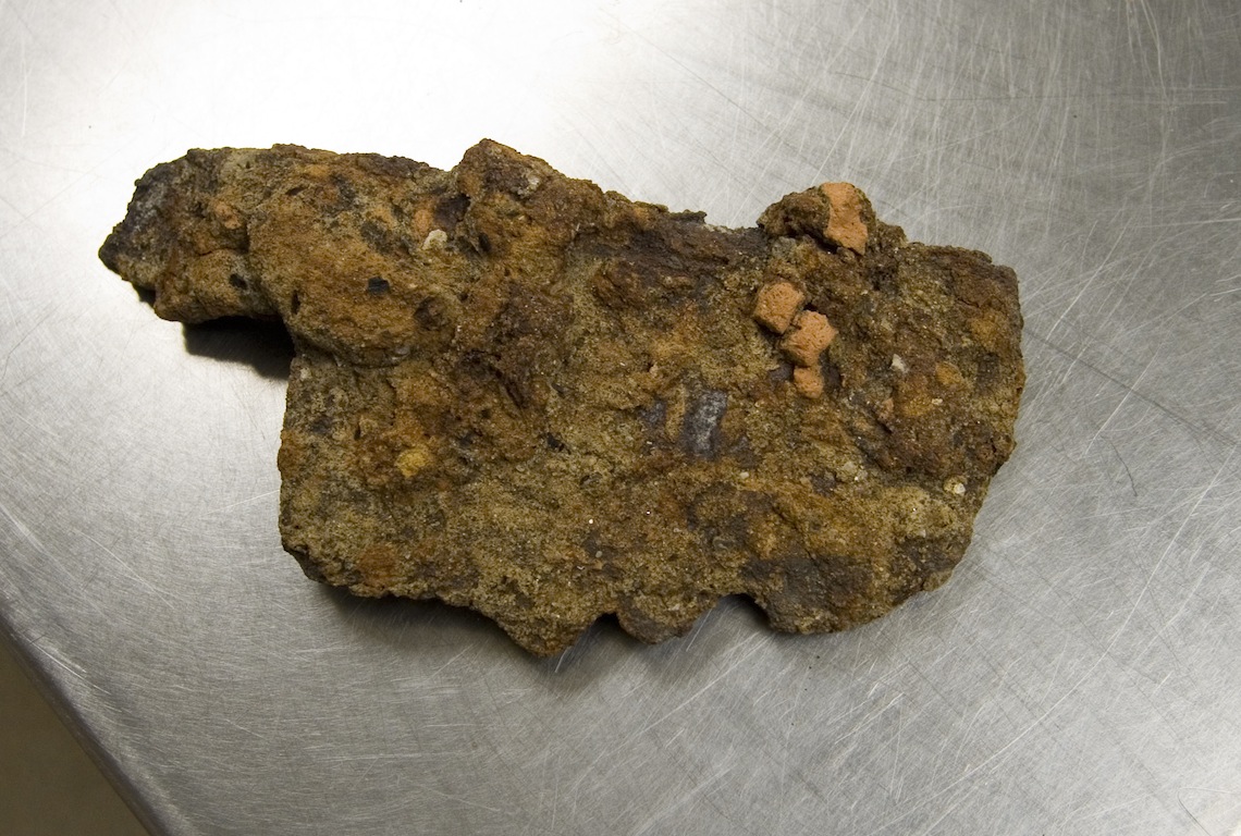
- A heavily-rusted saw blade found in the subterranean feature
-
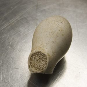
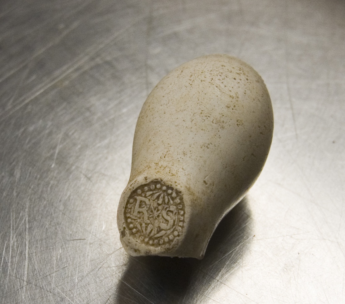
- The bowl of a pipe found in the subterranean feature. Note the maker’s mark featuring the initials ‘RS’.
-

- Another tray of artifacts from the subterranean feature.
-
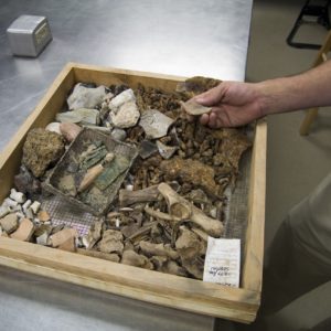
- A tray of artifacts found in the subterranean feature
-
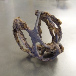
- Partially-conserved basket hilt for a sword found in the subterranean feature. This hilt dates to around 1600 and may be of Scottish origin.
-
- Cast-copper skillet, probably English in origin and dating to around 1600-1610
-
- Lead horse toy found in subterranean feature
-
- The western palisade wall before being backfilled
-
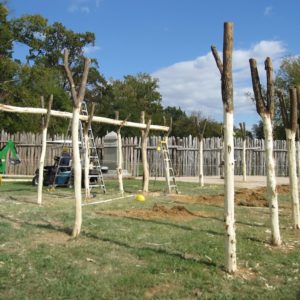
- View of the progress of the Structure 160 experimental archaeology project
-
- Experimental archaeology project building Structure 160
-
- The archaeologists use a transit to pinpoint the locations of the original postholes of Structure 160. The archaeologists kept records of the exact locations.

-
- Archaeologist Luke Pecoraro replaces a rotted peg in the eastern palisade wall
-
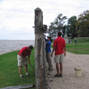
- Archaeologists Danny Schmidt, Luke Pecoraro and Mary Anna Richardson make repairs to the southern palisade wall