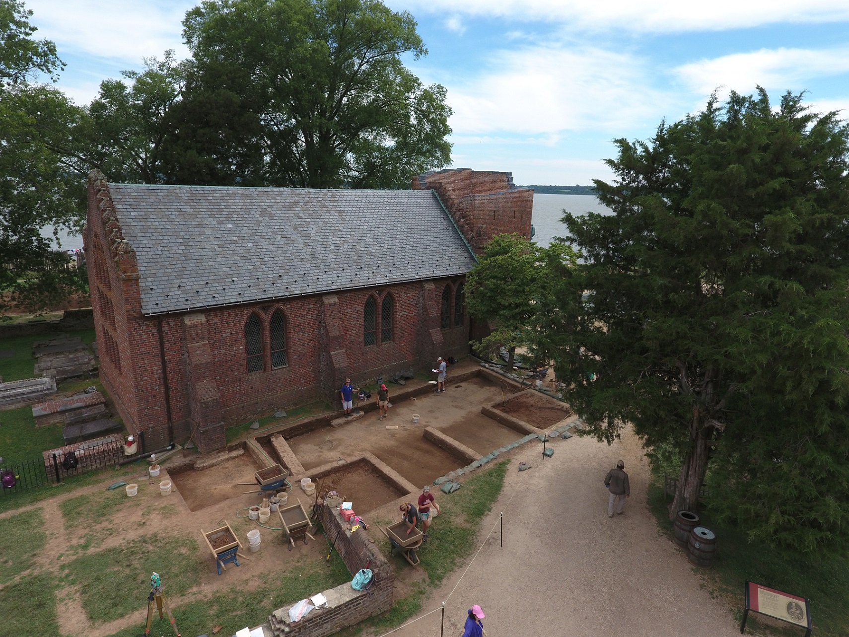
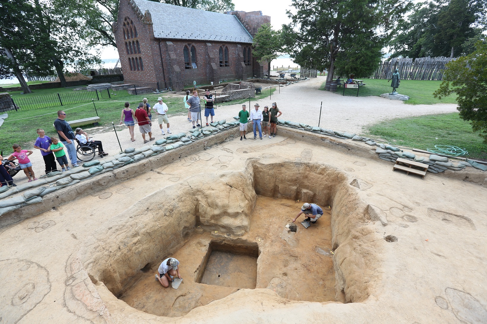
The Jamestown Rediscovery archaeology team bid adieu to the 2016 Field School participants in July. With their help, we learned more about the east palisade wall of the 1607 James Fort, the area north of the 1906 Memorial Church, the Structure 193 cellar well, the chancel area of the 1907 Memorial Church, and a line of postholes first uncovered in 2014. The primary excavation focus was a large area adjacent to the north side of the church. As reported in the 2016 June Dig Update, most of the artifacts recovered from this area related to early 20th century excavations in and around the foundations of the 17th century churches. The first church in this location was constructed by Governor Argall in 1617, and it was hoped that we would learn more about the pre-1617 occupation of the area.
“Several staff members anticipated that the area might have fewer burials than were uncovered in 2013 during our excavations to the east,” said archaeologist Mary Anna Hartley. “Our hope was that there would be fewer graves on church’s north side than were found to the east and south. That would allow us to test features related to the early fort-period unimpeded.”
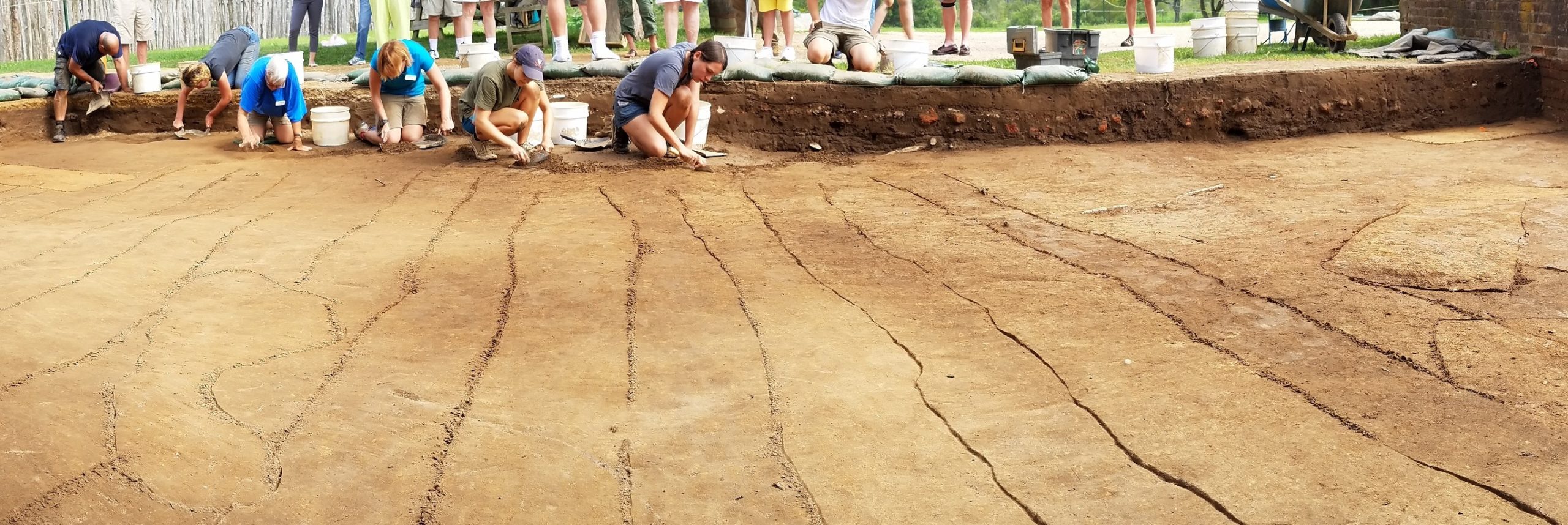
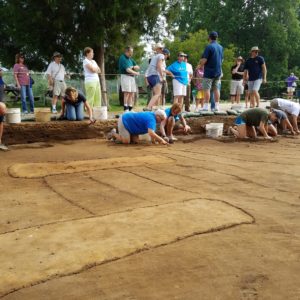
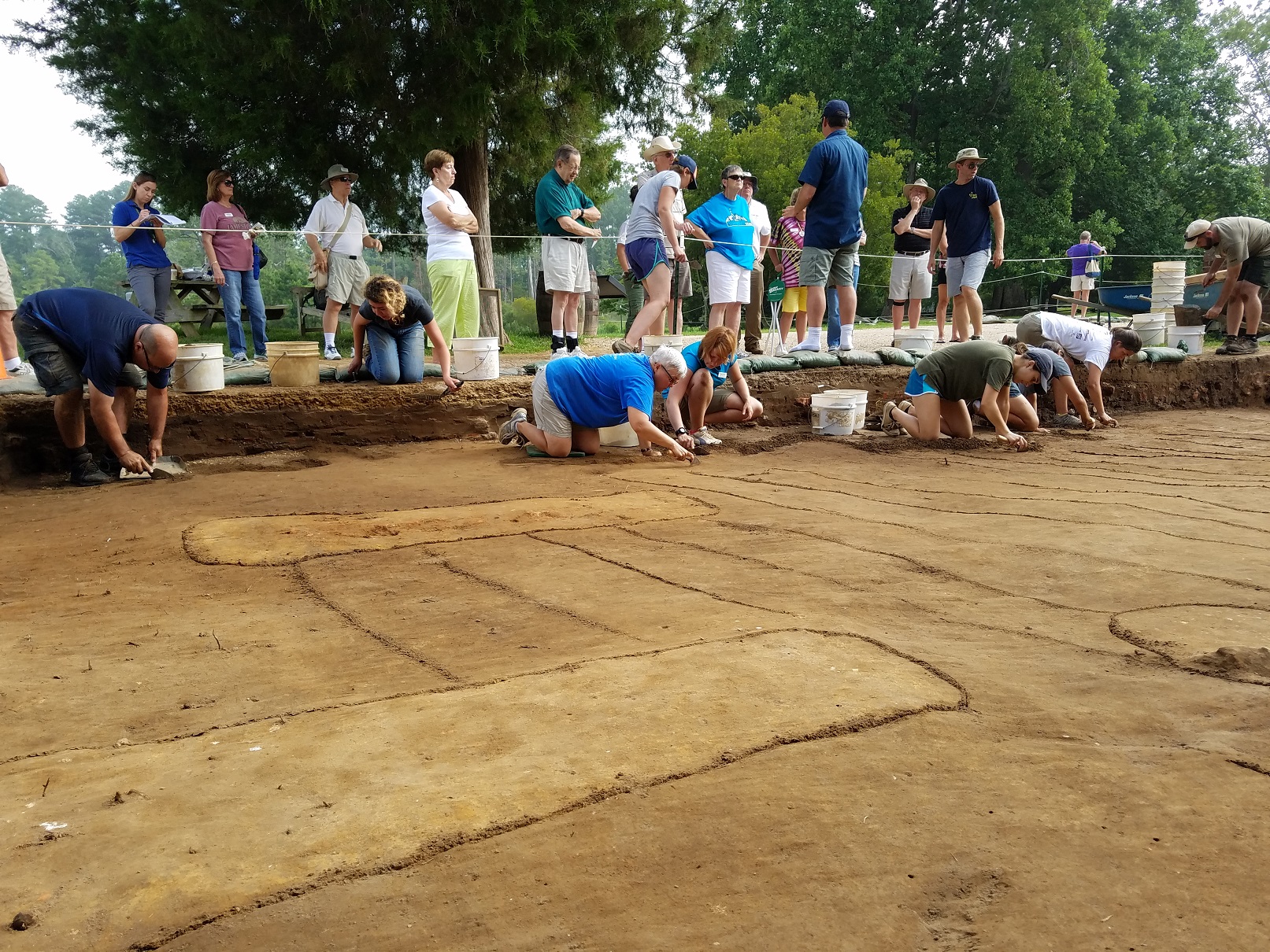
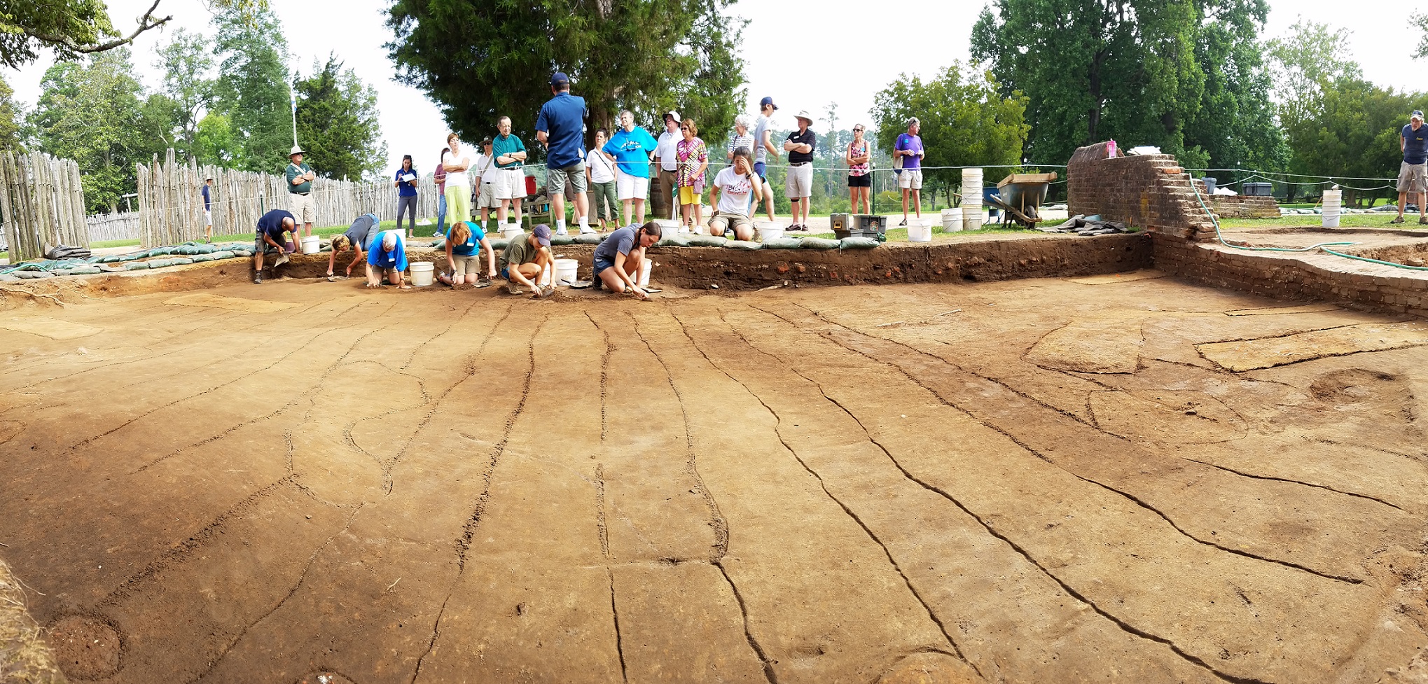
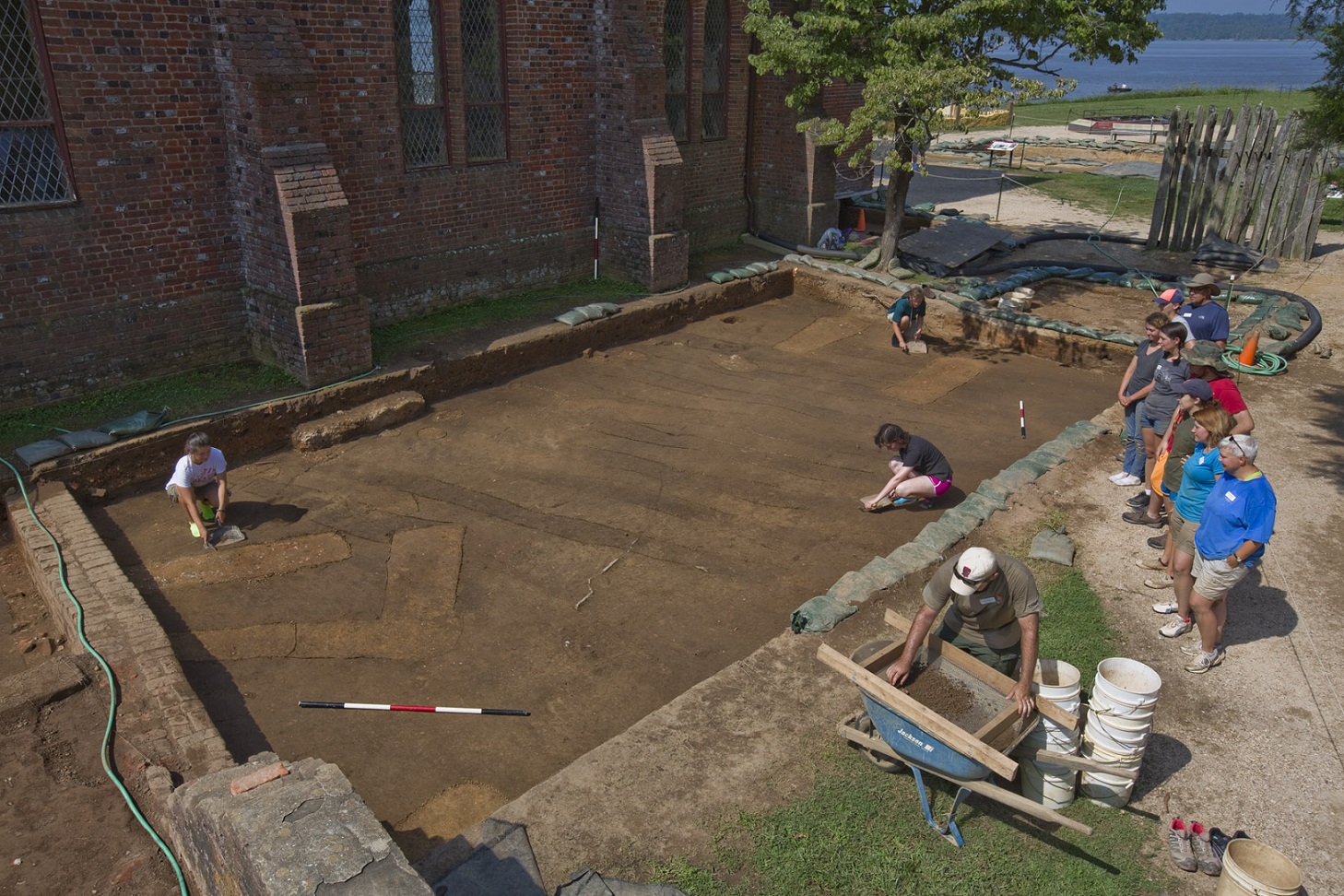
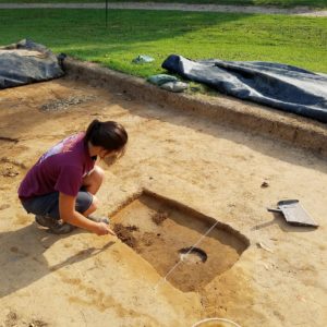
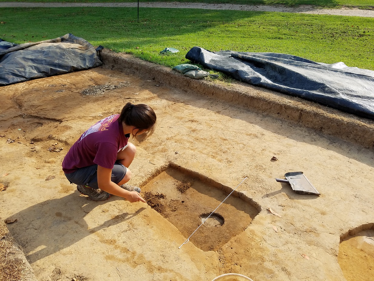
Once the overburden was removed, archaeologists identified surprisingly few graves—only seven. It also appeared that very few features from any period were present. Or so it seemed. In 2013, just to the east of the current site, archaeologists uncovered planting furrows, or hand-dug trenches, dating to 1607-1608. Oriented east to west, the furrows were perpendicular to the east palisade wall of 1607 James Fort. Thus, the team expected to find east to west furrows in this new section, but at first they seemed non-existent. However, during trowel cleaning of the site, archaeologists observed subtle dark black soil stains in rows. Oriented north-south, the stains became more distinct to the north. The furrows were indeed there, but they were parallel—instead of perpendicular—to the east wall! Twenty furrows filled with black loam were identified, and indicative of their early date, each was sealed by later historic features. As Senior Archaeologist Dave Givens pointed out, this herringbone-pattern scheme of planting rows had a long history in medieval England.
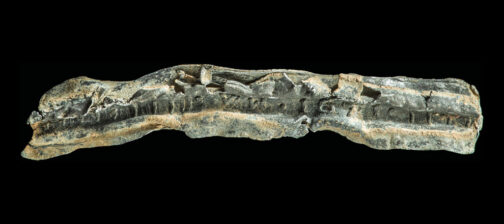
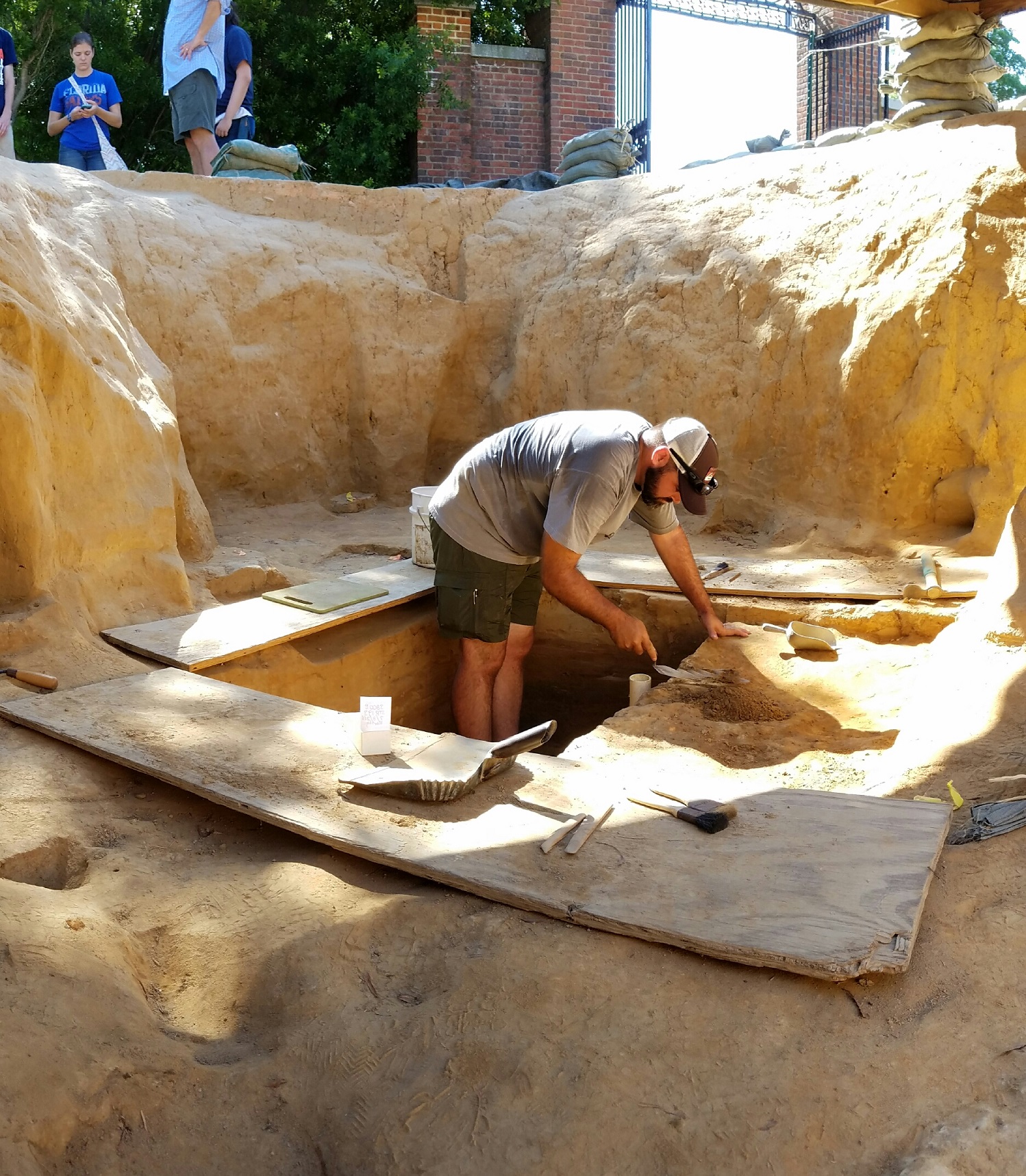
Before June, Rediscovery archaeologists had excavated the east side of the 5’ x 5’ the square well in the cellar of Structure 193 to a depth of two feet beneath the earliest cellar floor. During July, archaeologists and field school students removed the west half in preparation for the installation of a protective wooden casing. Found in the trash layers were sturgeon scutes, a copper alloy curtain ring, and more sherds of the delft drug jar that was reported on in the May Dig Update. Current plans are to excavate the rest of the well in a few weeks after the protective casing is installed.
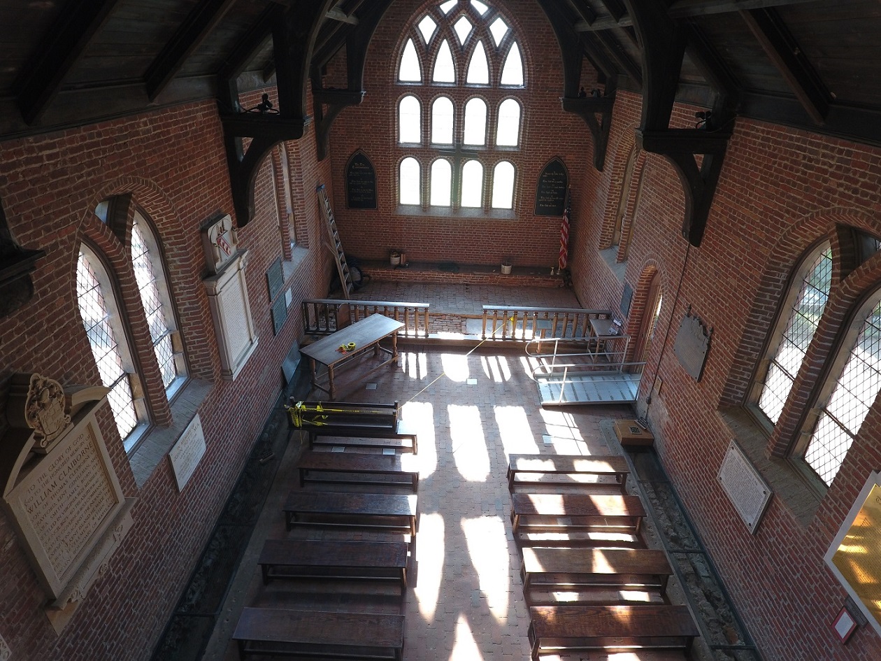
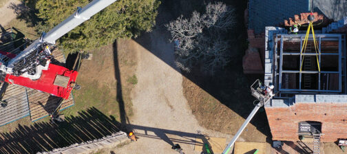
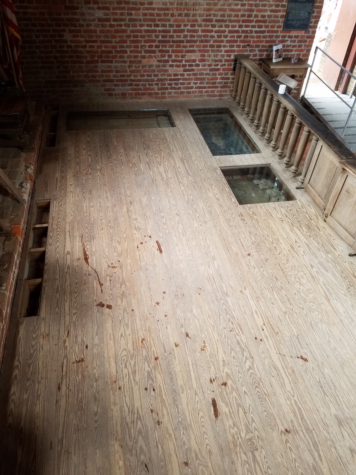
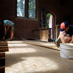
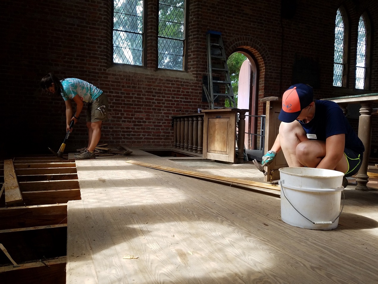
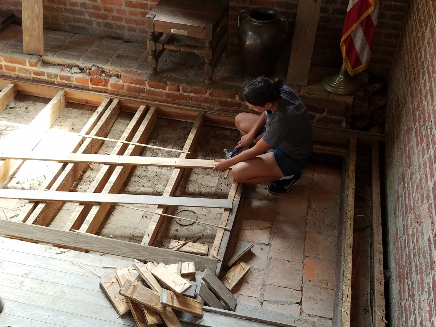
As part of the 2019 Commemoration of the First Representative Assembly in America that met in July 1619, the Rediscovery team will excavate the interior of the Memorial Church over the next two years. Field school students assisted in preparing for the upcoming excavations by removing the 1970s wooden platform in the church’s chancel, revealing a floor laid in 1902 of bricks and tiles from the two 17th century churches. This floor will be mapped before Rediscovery archaeologists begin excavations the near future.
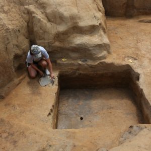
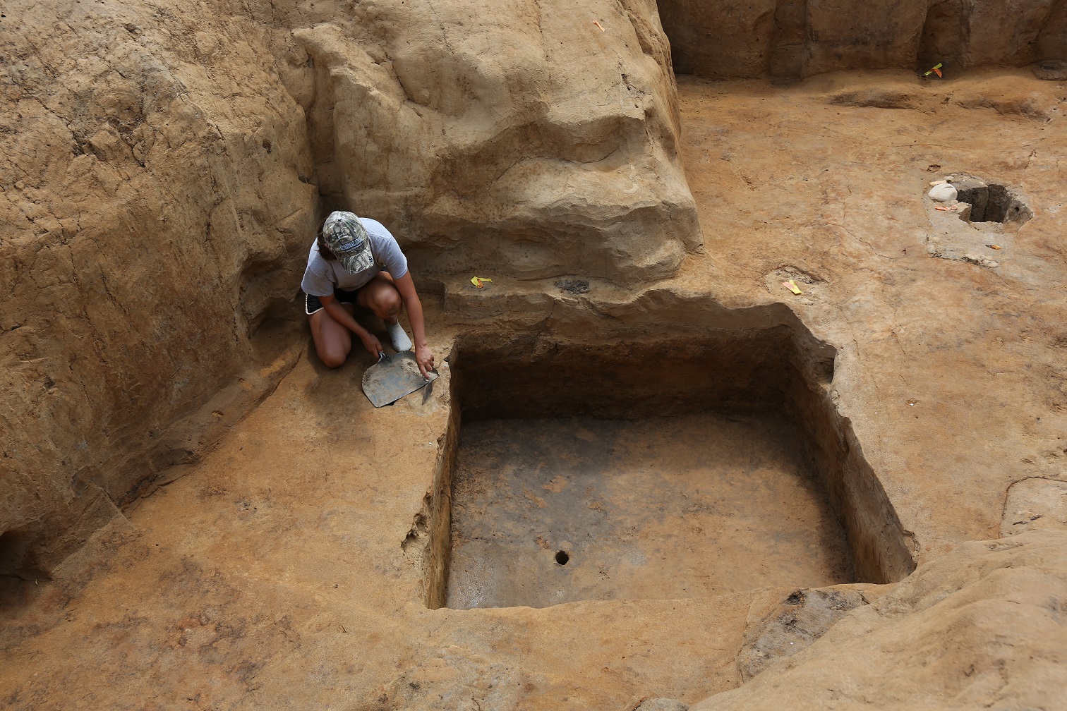
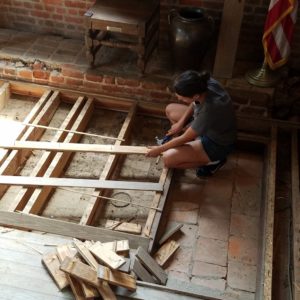
Despite appallingly hot weather during the last part of July, the crew worked diligently to test two series of postholes that were discovered in 2014. When the post holes were first found, they appeared to head toward the Pitch and Tar Swamp to the north. However, they became harder to identify as they approached the swamp because soil was stripped from the area during the Civil War. One line was comprised of rectangular-shaped postholes oriented north to south. Offset from the first, another line contained both square- and circular-shaped postholes. The south half of each posthole was removed to the original bottom elevation which indicated that they land along the line had been increasingly graded. Except for a small ceramic sherd of North Devon baluster jar, very few datable artifacts were recovered. The jar fragment provides a terminus post quem of the first quarter of the 17th century.
Director of Archaeology Bill Kelso thinks that these postholes may have been part of another addition to James Fort. He said that, “It is likely that these two lines of substantial postholes are remnants of a well-engineered post and board defensive wall referred to in colonist Ralph Hamor’s account of Jamestown in 1611. Hamor wrote, ‘…this town hath been lately newly and strongly impaled.’ Together, the postholes and the documentary account may well confirm that the enlarged James Fort could have encompassed 20 acres on the west end of the Island.”
related images
-
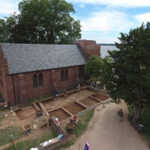
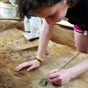
- North Church site during the field school.
-
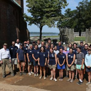
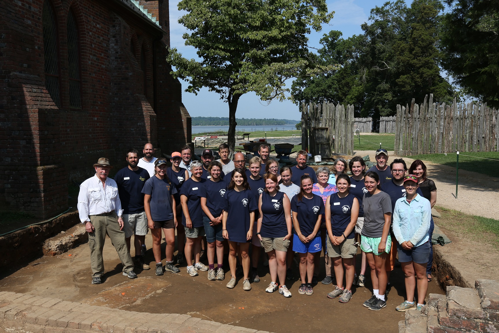
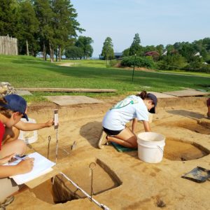
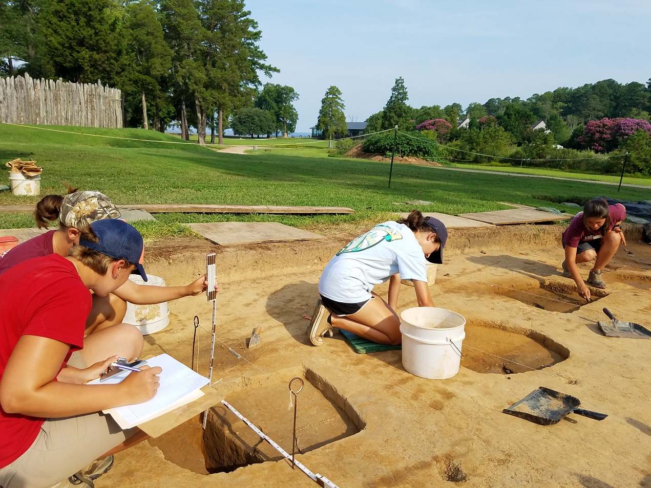
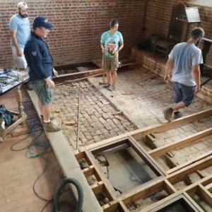
- The 2016 Jamestown Field School and Jamestown Rediscovery Foundation staff.
-
- Two rectangular burials oriented east to west cutting through earlier hand-dug trenches used for early farming outside James Fort’s east palisade wall.
-
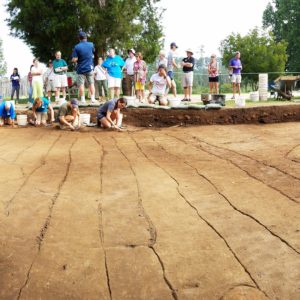
- Furrows, hand-dug trenches related to early farming outside James Fort’s east palisade wall.
-
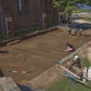
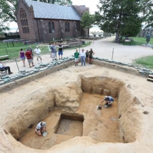
- Overall shot of the field school findings. The orange rectangles are graves and the black lines are furrows dug by the colonists, which relate to early farming outside James Fort’s east palisade wall.
-
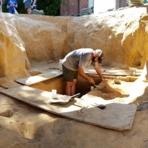
- Field school student Taylor Smith in Structure 193’s well excavating the western half of the 5’ x 5’ well shaft.
-
- Field School student Becca Merriman-Goldring with a curtain ring and scrap copper piece found in one of the top layers of the well.

-
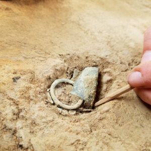
- Curtain ring and copper scrap in the top of the well

-
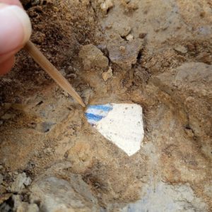
- Delft drug jar fragment in the top of the well.

-
- Overall record shot of Structure 193 cellar and well dug to a depth of two feet.
-
- The well in the cellar for Structure 193 after the students helped excavate the western half.
-
- Field School student Sarah Iler excavating the south half of one of the postholes north of Structure 193, which might relate to an addition to James Fort.
-
- Students and interns excavating and recording postholes in a line oriented north to south for evidence as to what they relate
-
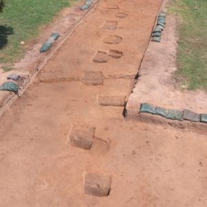
- An overall shot of the series of postholes north of the Structure 193 cellar site. These may relate to an addition added on to James Fort mentioned by colonist Ralph Hamor in 1611.

-

- The 1970s wooden chancel floor prior to removal.
-
- Students Sarah Iler and Michelle Carpenter removing the floor boards and nails from the boards in the Memorial Church chancel area.
-
- Field School Student Victoria Bellflower removes parts of the wooden platform over the church chancel area.
-
- Staff and students prepare to remove the floor joists over the church chancel floor.

-
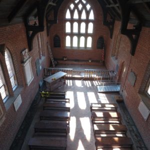
- A drone shot of the interior of the Memorial church after the removal of the wooden platform.